Team members: Bente Lilja Bye/BLB, Šimon Leitgeb/Lespro
Project idea: We want to use and develop visualizations of time series (animation) where different types of met-ocean data (e.g. ice edge, SST) and fishery statistics are combined to investigate potential links between climate change and activity in the polar region in and around Svalbard.
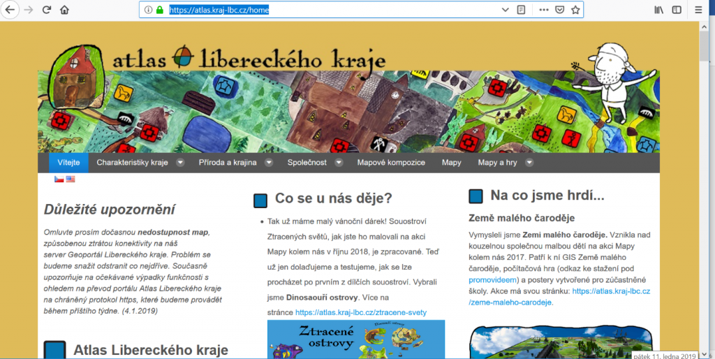
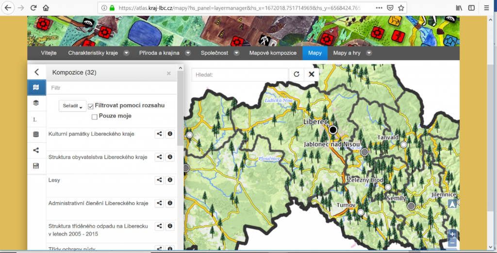
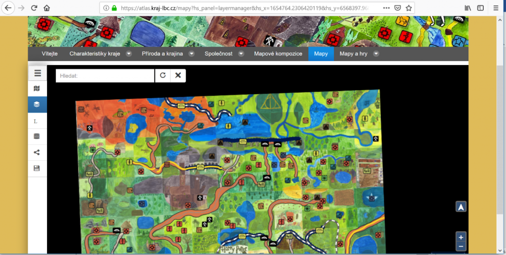
It offers information, texts and games to young people. On the portal exist large amount of thematic maps and system support easy building of new thematic maps.
Including gaming maps
The idea is to reuse solution from DataBio and integrate 3D into the atlas.
Project leader: Christian Zinke-Wehlmann zinke(at)infai.org
Team members: Tom Collins, Amit Kirschenbaum, Tomáš Pavelka, Willy Steinbach
Project idea: We will extend the Albatross application in order to handle (find and link) and fuse different datasets (e.g. FOODIE, sensor data, Sentinel data) within one visualization for different purposes. Within the first case, we will use geoLIMES to discover geospatial links and show them on a map (fields, sensors, etc). Optionally, we will develop an interface to EO data in order to provide them to the user. Additional features are to provide several analysis possibilities of the given data.
Project leader: Ondrej Vesely ondrej.vesely(at)flowerchecker.com
Team members: Michal Kepka (University of West Bohemia)
Project idea: Plant.id allows hackhathon participants to a near-unlimited usage of it’s REST API. The API allows user’s to identify a plant based on a photo (and geolocation) of a plant or tree. Some ideas what you can build with the plant identification API
Drone-based flora identification for the purpose of automated endangered species mapping
Hardware device enabling automated Lawn-mowers to avoid cutting garden plants
Extracting plant species locations from the available geotagged photos (Google Maps, Twitter, …) and correlate the occurrence with various INSPIRE data layers (especially Orthoimagery, Biotopes, Soil and Atmospheric conditions)
Smart Plant identification from video recordings including bounding boxes determination
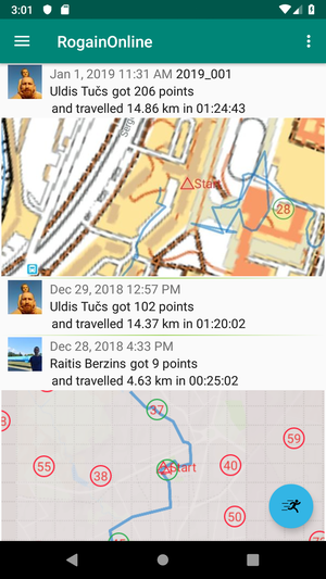
PROJECT IDEA: RogainOnline is an Android GPS based orienteering game which lets users collect virtual checkpoints in a similar way to a Rogaining competition only in a personalized manner. Basic phone based gameplay and web platform has already been developed, but still a lot of work needs to be done. Orienteering maps need to be sourced, georeferenced and added to the platform. Social network integration needs to be expanded and also some new game elements like simultaneous competitions and score boards and course composer needs to be developed. Ideas and prototypes for selling and distribution of high resolution orienteering maps could also be worked out.
Technologies used:
Android / Kotlin programming + GMaps on phone side
Vue.js (client) + Express (Backend) for web platform
OSM data for Europe to check validity of control locations
Team members: Marek Splichal, Michal Kepka, Andrei Grishanov, Ratis Berzins, Raul Palma, Ilze Bargā, Karel Charvat, Jiri Kvapil, Dmitrij Kozuch
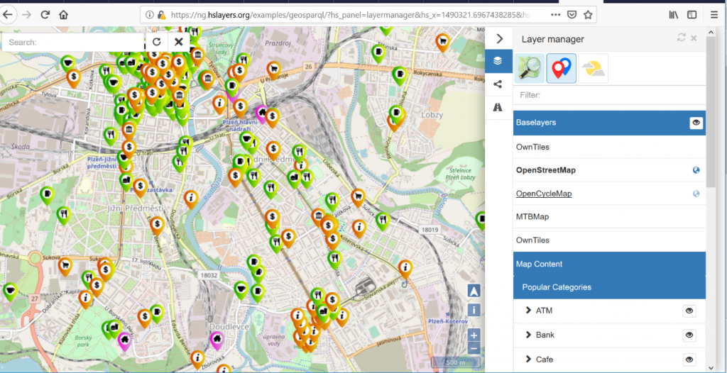
The goal is to design and developed prototype of Agriculture Innovative Hub, which will integrate on one side principles of social media like Blog, Forum, design Science Shop, which will be able to connect users with developers and researchers and also integrate different types of demo application, where farmers developers, researchers will have chance to cooperate, test different API for new solution and also provide common experiment. Solution will be based on utilization of Liferay Portal and as backend will use SQL and non SQL database and will integrate tools like SensLog, HSlayers NG etc.
PROJECT IDEA: SensLog 2.0 was implemented and tested during last year. The new version is oriented on cloud environment. It is useful to add specific connectors for sensors used in measuring campaigns to spare data volume transfer. Specific connectors are decoding bytecode transferred by chosen communication technology to the form of requests of SensLog API. Connectors that will be implemented in scope of this project will be oriented on SigFox and NB-IOT technologies.
Project leader: Mira Wolf mirek.wolff(at)gmail.com
Team members: Runar Bergheim, Raitis Berzins, Petr Uhlir, Ota Cerba, Karel Charvat
Test/assessment team from Finland: Ilkka Sipilä (Hollolan Hirvi), Pirjo Räsänen (Ellare Oy), Jana Parpala (VivaSlovakia), Riika Kivelä (Regional Council of Päijät-Häme), Marko Mälly (Regional Council of Päijät-Häme), Liisa Karlsson (student of Construction Technology), Janina Maukonen (student of Adventure Tourism), Tuula Löytty
Achieving sustainable tourism requires new policies, new incentive instruments and development of
infrastructure in addition to behavioral change within government, investment
and business sectors — as well as in the consumer pattern of tourists. Tourism
development is initiated through either private initiative or government
strategy; often due to a combination of the two where a successful private
venture awakens government sector to the dormant potential of the sector.
Currently Government agencies lack tools to inform their policies and
strategies; investors lack tools to identify sustainable tourism
investment prospects and; businesses lack tools to identify potential
sustainable tourism, businesses need tools to build and package products and
services — and tourists, looking for sustainable tourism options, need
help finding out where and how to travel.
The
idea of Hackathon project is to demonstrate on one region, how this data sets
could be used for development of sustainable tourism in region. We will target
on:
To help governments
identify potential and build strategies for sustainable tourism and what
infrastructure investments and incentives are needed to realize it
To help investors and
financial institutions, identify investment opportunities for sustainable
tourism including real-estate, development projects and services
Team: Pavel Vondracek, Jiri Hamhalter; Ivo Šašek, Kristýna Čerbová; Sarka Horakova;, Petr Horak, Marek Splichal, Petr Uhlir, Simon Leitgeb, Ota Cerba
The Czech Living Lab pilot in the Liverur project is focused on better support of direct selling of products from farm to consumers and linkage between farming and tourism. We would like to meet with you and discus the concept of building an e-commerce platform to support this selling, but also discuss business models for the purpose of such applications. Who is interested about this topic, please join our team, we would like share the experience and build something valuable.