Powering innovation with open geospatial intelligence
Connecting ICT innovators, researchers, and public authorities to build smarter digital ecosystems through open data, AI, and spatial solutions.
WHO WE ARE
Plan4all is a non-profit association driving digital innovation through the integration of geospatial technologies, AI, and open data.
We are a trusted partner in European and international research projects, facilitating collaboration between ICT industry leaders, academia, and public sector stakeholders.
As an umbrella organization, Plan4all brings together a diverse network of partners from 22 countries, including public bodies, universities, research organizations, and business entities.
WHAT WE DO
Open Data Platforms
Developing and maintaining large-scale data hubs and APIs for spatial data reuse.
AI & Remote Sensing Integration
Enabling intelligent solutions in agriculture, environment, and smart regions.
Research & Innovation Projects
Co-creating the digital future in EU-funded initiatives.
Community Building & Knowledge Sharing
Driving impact through hackathons, training, and collaborative networks.
TRUSTED BY LEADING INNOVATORS
By working with us, you can get involved in:
- Gaining access to validated datasets and spatial APIs,
- taking part in EU research projects and co-developing pilot use cases,
- engaging with policy makers, academia, and end users.
Whether you're a technology provider, data specialist, or research institution, we welcome your collaboration.
News and events

BioClima Newsletter Issue 2 Released: Showcasing Progress, EU-China Cooperation, and Plan4all’s Role
We are happy to share that the second issue of the BioClima Newsletter is officially available online! As a consortium partner leading the communication, dissemination, and stakeholder engagement eff
Read more
Call for Papers: GeoAI and Geospatial Technologies for Sustainable Development
We invite researchers, practitioners, and innovators to contribute to a new Special Issue in the journal Sustainability focused on the role of geospatial technologies, GeoAI, and advanced spatial ana
Read more
Join the CYPRES 2026 Workshop in Lisbon: Call for Papers Now Open
We invite researchers, innovators, and practitioners to contribute to the 2nd Workshop on Cyber-Physical Resilience and Security Against Digital Breakdowns (CYPRES), held in conjunction with the IEEE
Read more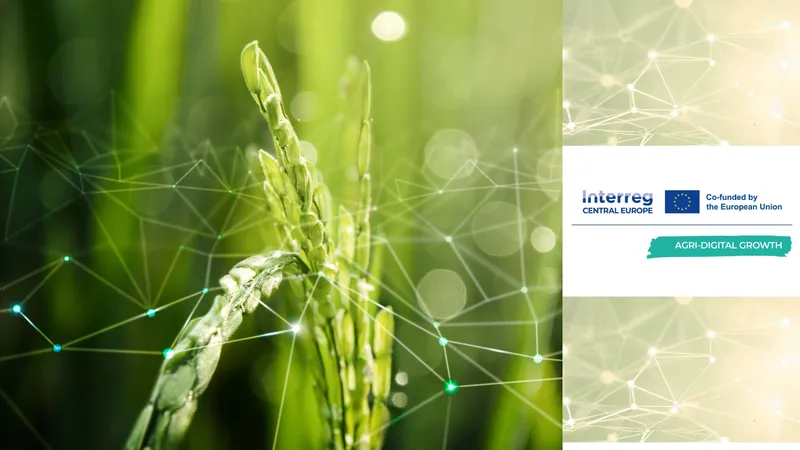
Spojujeme výzkum a zemědělskou praxi v Klatovech
For English click hereDne 3. března 2026 se v prostorách Úhlavy, o.p.s. v Klatovech uskutečnilo setkání zaměřené na praktické využití inovací, vzdělávání a poradenství v zemědělské praxi.Akce byla re
Read more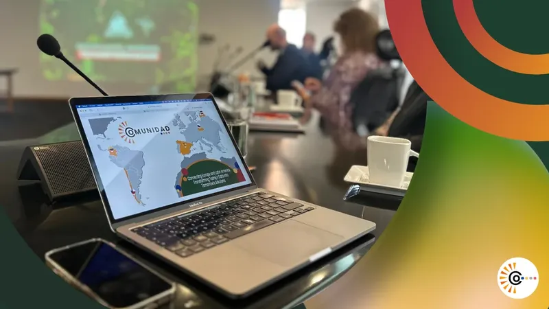
From collaboration to lasting impact: the COMUNIDAD project comes to a close
After more than two years of collaboration across Europe and Latin America, the COMUNIDAD project has reached its official conclusion. What began as an ambition to turn Earth Observation data into pr
Read more
First BioClima Newsletter published: Looking back at year one of EU–China climate and biodiversity cooperation
As a partner of the BioClima project, Plan4all is pleased to share that the first issue of the BioClima Newsletter is now available online.Newsletter 1 reflects on the first year of the BioClima proj
Read more
Summary of PoliRuralPlus JackDaw Code Camp 2026 in Prague
Event overviewThe PoliRuralPlus JackDaw Code Camp 2026 took place in Prague, Czech Republic, on 13–15 January 2026, hosted by the Faculty of Information Technology, Czech Technical University in Prag
Read more
PoliRuralPlus JackDaw Code Camp 2026
The PoliRuralPlus consortium invites developers, geospatial engineers, and applied AI practitioners to the JackDaw Code Camp, taking place 13–15 January 2026 in Prague. Hosted by the Faculty of Infor
Read more
Konference: Využití umělé inteligence v zemědělství
Zveme vás na odbornou konferenci „Využití umělé inteligence v zemědělství“, která se uskuteční 4. listopadu 2025 v Národním centru zemědělského a potravinářského výzkumu v Praze.Akce pořádaná Českou
Read more