PoliRural Newsletter No.3

The PoliRural project has issued the third newsletter from June 2020 with the following content:

  • Population and Rural Attractiveness, a Sample System Dynamics Model by Antoni Oliva Quesada (22sistema)
  • Coronavirus vaccine being developed at MIGAL – Galilee Research Institute, Israel by Prof. Uri Marchaim (MIGAL – Galilee Research Institute)
  • PoliRural Innovation Hub by Petr Uhli (Czech Center for Science and Society)
  • Building Synergies: SHERPA – Rural Science-Society-Policy Interfaces by Roxana Vilcu (Communications Officer for SHERPA)

For full text of the newsletter please go to https://polirural.eu/newsletter/3/.

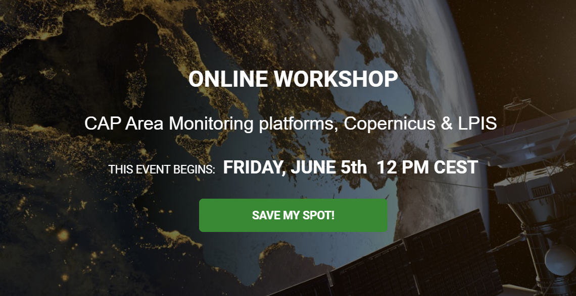
EO4AGRI ONLINE WORKSHOP: CAP Area Monitoring platforms, Copernicus and LPIS

We are pleased to invite you to the EO4AGRI webinar / online workshop  CAP Area Monitoring platforms, Copernicus and LPIS, that will take place on 5 June, Friday, 12.00 CEST.

The online workshop is organised within the framework of Horizon 2020 EO4AGRI project, contributing to  Dubrovnik INSPIRE Hackathon 2020.

The objective of the webinar is to talk about the CAP Area Monitoring platforms for combined use of Copernicus and LPIS/GSAA data, to present the survey results of the 1 year progress of Area Monitoring System implementation in Paying Agencies, focusing on the requirements and identifying the state of the art, and to discuss other related issues.

Monitoring of agricultural sites requires joint satellite observation data (e.g., from Copernicus) with GIS data originating from territorial Land Parcel Identification Systems (LPIS). Technical procedures and platforms for LPIS data sharing, specifically addressing the use of hosted data cubes will be reviewed during the webinar.  Combined processing of LPIS/GSAA and satellite data will be presented, as it is offered by the Euro Data Cube service to the benefits of higher level applications (e.g., Machine Learning crop classification, etc.).

The registration link to the EO4AGRI webinar CAP Area Monitoring platforms, Copernicus and LPISis open:  https://plan4all.lpages.co/cap-area-monitoring-platforms-copernicus/


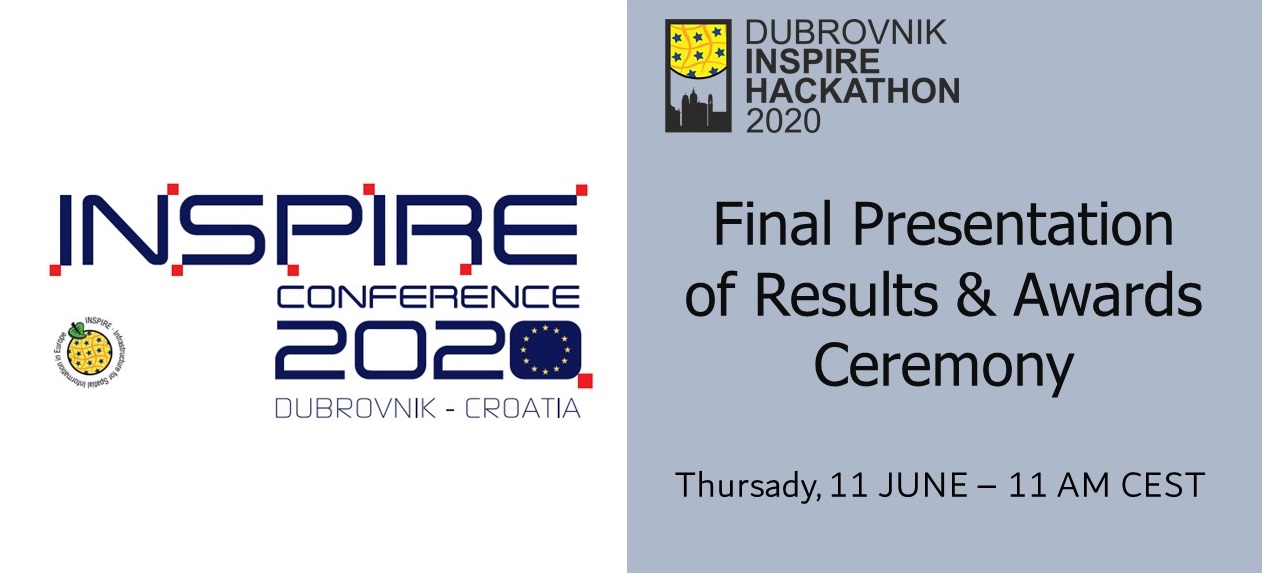
INSPIRE 2020 Online Conference: Dubrovnik INSPIRE Hackathon Final ceremony & Results

Dubrovnik INSPIRE Hackathon 2020 – ”Leveraging interoperable frameworks, artificial intelligence and citizen science for Sustainable Development Goals”

This is the fifth year of the INSPIRE Hackathon. The workshop scheduled on 11 JUNE at 11 AM CEST aims to present the hackathon results and award top three teams of the Dubrovnik INSPIRE Hackathon 2020.

The hackathon stared before the INSPIRE 2020 Online Conference already at the end of February 2020. The hackathon itself and the team work was done remotely.
The Dubrovnik INSPIRE Hackathon 2020 is in line with the motto of the INSPIRE Conference – “Bringing sustainability and digitalisation together”. The hackathon is co-organised and supported by the H2020 WeObserve project  that aims to create a sustainable ecosystem for Citizen Observatories for environmental monitoring and improve coordination between related regional, european and international activities.

The goal of the hackathon is to promote collaboration and sharing of experience in the domain of spatial data/services and citizen-science while showcasing their utilisation and uptake to different application domains and themes. This includes supporting the Sustainable Development Goals.

The topics of the INSPIRE Hackathon 2020 include:

  • Artificial Intelligence solutions with integrated use of citizen science data
  • Demonstrating interoperability between citizen-science tools and datasets while leveraging innovative protocols, standards and frameworks
  • Facilitating integration between citizen-science and existing infrastructures/systems for environmental monitoring
  • Artificial Intelligence and citizen science applied for the agricultural sector (EO4AGRI)
  • Showcasing integration between INSPIRE, GEOSS, COPERNICUS and citizen-science data, focusing on standardisation, web APIs and novel processing frameworks (i.e. machine learning), towards the creation of added value applications.

Are you interested in results of the Dubrovnik INSPIRE Hackathon? Do not hesitate to register for this final presentation of results & awards ceremony!

Register now!

EO4AGRI online workshop “Galileo, EGNOS, and Copernicus for Agriculture”

In Europe, we have two major space based programs, Galileo and Copernicus. Combining the navigation or positioning tools of Galileo and the Earth observation data and services of Copernicus for improved food security and agriculture in general is what we address in this webinar.

Hence, it is obvious that there is a great untapped potential in combining positioning data from Galileo and EGNOS with Earth observation data for agriculture. Additionally, the Covid19 virus is unfortunately not only harming our health, it is also jeopardizing our food security. It is evident that we need to pump up our efforts to combine all the resources and knowledge we have to secure a continued good life, not only for Europeans, but for our entire planet.

Students, researchers, data analytics, participants in European, national and international projects, developers, service and application developers will learn more about Galileo, EGNOS and Earth Observation (Copernicus programme) with our speakers:

  • María-Eva Ramírez works at INECO as GNSS Expert, working as part of SpaceOpal Team at the GSC (European GNSS Service Center) for Galileo Adoption and Market Development, focused mainly on EGNSS Applications on Agriculture and Geomatics domain.
  • Sofía Cilla, works as Service Adoption Manager with the goal of promoting EGNOS usage in the different GNSS user communities (eg. aviation, rail, maritime, agriculture and geomatics) today and those that may come in the future.
  • Joaquin REYES GONZÁLEZ is Market Development Technology Officer at GSA working in the professional high-precision market on EGNOS and Galileo, focused on Agriculture topics.
  • David Kolitzus is a Senior Expert and Project Manager with an IT and a remote sensing expertise at GeoVille.
  • Bente Lilja Bye has been a member of the GEO community since 2004, engaged both as representative in the GEO plenary, in committees and contributing to the GEO Work Programme, and currently represents Norway on the GEO Programme Board. Bente runs a small research and consultancy company, BLB, focusing on transforming Earth observation data to information and knowledge for societal benefit.

Join us using the link below on Tuesday 26th May, 15:00 CEST

IGAD Online meeting: Kampala INSPIRE Hackathon as an example of Capacity Development for Agriculture

The Kampala INSPIRE Hackathon 2020 will be presented as an example of Capacity Development for Agriculture during the INTEREST GROUP ON AGRICULTURAL DATA (IGAD) Online Meeting by Suchith Anand (GODAN,  on Wednesday, 27th May at 10:20 AM CEST.

Open Earth Observations and Open Geospatial Information are key in supporting and achieving the 2030 agenda for Global Food Security. Hackathons provide an excellent opportunity for bringing together people from different disciplinary backgrounds to form teams around a problem or idea, and collaboratively co-create a unique solution to the problem from scratch. The outputs generally take shape in the form of websites, webinars, applications, tools, policy papers, or processes. Traditionally hackathons are organized as on-site events with different groups working on different challenges which are then judged on diverse pre-agreed parameters. Though physical hackathons are considered to be more productive, they are also expensive to participants (with costs including travel, accommodation, venue costs, etc), which tend to exclude many potential participants. To obviate this challenge, virtual Hackathons are preferred as a good way of promoting inclusiveness and digital participative collaboration. In this presentation, we share experiences and lessons learned from a  fully Virtual Hackathon. This enables anyone, from anywhere, to join and contribute to the Hackathon, thereby reducing the barriers to participation (esp. for people from low-income countries). 

You are cordially invited to join this session at https://fao.zoom.us/meeting/register/tJwpc-Ctpj4jHN2aUsyLuGWEHixvTrsYKoU2

INTEREST GROUP ON AGRICULTURAL DATA (IGAD) Online Meeting – 25 to 28 MAY 2020

The Research Data Alliance (RDA) Interest Group on Agricultural Data (IGAD) meeting focusing on IGAD/RDA : Sharing Experiences and Creating Digital Dialogues, which was set to be held in Rome (Italy) in April 2020 will now take place as a virtual meeting from May 25 to 28.  The virtual meeting will provide an online platform to continue to build upon collaborations, knowledge sharing and developing innovations with activities including panel sessions, group discussions and presentations. 

Registration

The registration is now open. The full schedule of presentations and registration links for the virtual meeting are available here. Each day has one or two sessions – one in the morning and another one in the afternoon Central European Summer Time (CEST) – with 60 to 90 minutes of presentations. There are  individual registration links for each virtual session. Interested participants are encouraged to register for multiple days based on interests and needs. 

The full schedule of presentations and registration links for the week long virtual meeting are available in this document.

The virtual event will include the following sessions:

  • Keynote 16:00 to 17:00 CEST – Register 
  • Semantics. 16:00 to 17:30 CEST – Register
  • Europe/Asia. 10:00 to 11:45 CEST – Register
  • Americas (draft, last details will follow this afternoon) 16:00  to 17:30 CEST – Register
  • Africa. 10:00 to 11:30 CEST – Register
  • Closure session. 16:00 to 17:00 CEST – Register

If you have any comment or suggestion please write to us at AIMS@fao.org.

About IGAD

One of IGAD’s main roles is to serve as a platform that leads to the creation of domain-specific Working Groups. To date, successful Working Groups (WGs) have been formed under IGAD, these are: Wheat Data Interoperability, Rice Data Interoperability, AgriSemantics and Capacity Development for Agricultural Data WGs. The groups play a key role in delivering Research Data Alliance’s (RDA) recommendations and good practices with regard to Agricultural Data Interoperability. Formed in 2013, since its inception the Interest Group on Agricultural Data (IGAD) has grown in community strength to over 200 members, becoming one of the RDA’s most prominent Thematic Groups.

Co-chairs of the Interest Group on Agriculture Data (IGAD), for the IGAD Task Force 2020:

Patricia Rocha Bello Bertin (EMBRAPA, Brazil)
Cynthia Parr (National Agricultural Library. USDA Agricultural Research Service, US)
Imma Subirats Coll (Food and Agriculture Organization of the United Nations, Italy)

INSPIRE 2020 – the Virtual Conference 3rd – 12th June 2020

Because of the risk associated with COVID-19 infection and to ensure the health care of all the community, we have reluctantly decided to cancel the INSPIRE Conference 2020 and to host INSPIRE 2021 in Dubrovnik, 11-14th May 2021.

However, all is not lost! In the meantime, INSPIRE Conference 2020 organisers invited the organisers of special sessions and workshops to host their events in special online series of webinars at the INSPIRE 2020 Online Conference 3rd – 12th June 2020!

Explore the progamme of the INSPIRE 2020 Online Conference HERE!

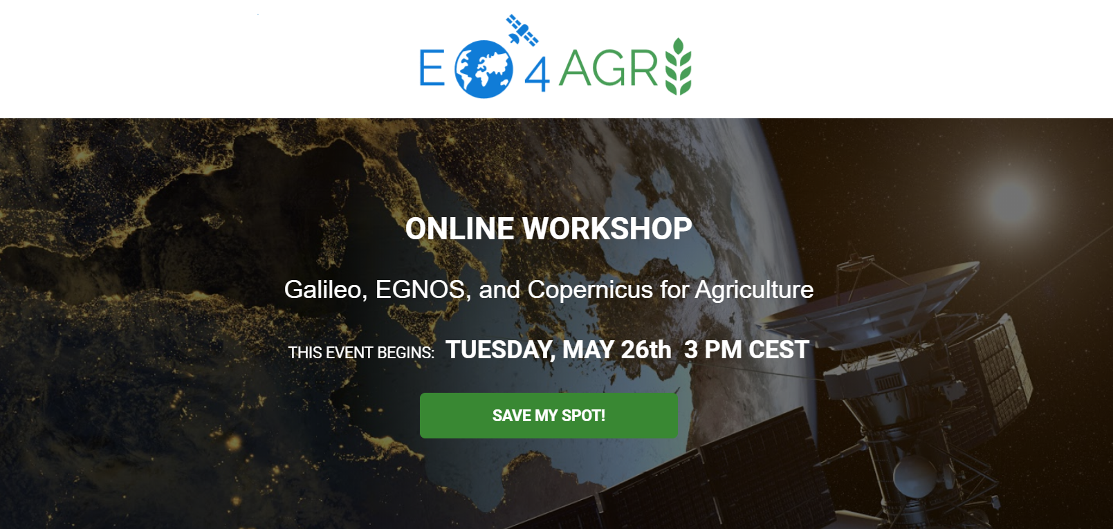
ONLINE WORKSHOP: Galileo, EGNOS, and Copernicus for Agriculture

In Europe, we have two major space based programs, Galileo and Copernicus. Combining the navigation or positioning tools of Galileo and the Earth observation data and services of Copernicus for improved food security and agriculture in general is what we address in this webinar scheduled on Tuesday 26th May, 3 PM CEST and you are cordially invited!

There is a great untapped potential in combining positioning data from Galileo and EGNOS with Earth observation data for agriculture. The Covid19 virus is unfortunately not only harming our health, it is also jeopardizing our food security. It is evident that we need to pump up our efforts to combine all the resources and knowledge we have to secure a continued good life, not only for Europeans, but for our entire planet.

YOU WILL LEARN ABOUT:

  • Galileo, the European Global Navigation Satellite System (GNSS)
  • The European Geostationary Navigation Overlay Service (EGNOS)
  • Copernicus – The European Earth observation program
  • Navigation for agriculture – a couple of examples
  • Combining navigation and Earth observation resources for agriculture

In case of interest, do not hesitate to register HERE!

Results of the Challenge 2: SmartAfriHub

Plan4All association together with 18 cooperating international institutions organized INSPIRE Hackathon in Kampala, along with ten different challenges to answer problems regarding agriculture in Africa.  As part of an extensive effort by European Union to create the Digital Innovation Hub (DIH) network, one of the hackathon challenges was dedicated to the evolution of SmartAfriHub that is a Digital Innovation Hub addressed on African needs. The challenge 2 aim was to build a social space, create tools for management and usage of geospatial data to enhance smart agriculture, and to increase cooperation and communication between EU and Africa.

Challenge 2 approached the problem with two different phases, firstly phase number one was to identify the problem and organize a group to tackle identified problems. After phase one, the team was decided to move into phase two, which directed the teamwork towards creation of multi-layered maps utilized in agriculture, with tools provided by other challenges participating in Inspire Hackathon.

Let’s see the results of this successful Challenge 2 – the second winning challenge of the Kampala INSPIRE Hackathon!


Phase one 


Challenge 2 had initially 73 people from 11 countries, mainly from Africa, sign up to the challenge, with many people having expertise and understanding in smart agriculture and already mentioned geospatial information. Most of the members were part of different institutions with extensive knowledge of agriculture. First phase purpose was to build community and facilitate participants communication under different platforms e.g. SmartAfriHub, Google Drive and WhatsApp, and to identify the pain points and problems in African agriculture.  After organizing and setting up communication channels, the group proceeded to their data collection plan. The lack of open, free data was identified as the most critical bottleneck to move forward. The group decided to limit data collection into four subject matters, economic, – farms, – weather, – and agronomic layers.  Four different teams from four African countries were set up to collect data relevant to their subject matter. Though due to covid-19 restrictions, collecting data turned out to be more difficult than anticipated, but eventually the group managed to acquire usable data sets.


Phase two


After the group set out to utilize collected data to create multi-layered maps by using a mobile application that was developed by another challenge of the hackathon. Idea was to turn collected data into multiple web-based maps, out of one dataset. Even though information was readily available from multiple datasets, the group decided to randomly select one dataset due time constraints, which turned out to be wheat. Eventually multiple different maps were created, regarding things such as crop distribution and cultivation of wheat.


Conclusion


The group of challenge 2 developed both the technical and social environment around SmartAfriHub. The platform functionalities and assets were improved to provide more diverse services, application and tools to the end-users. Creating new content and sharing it were important actions in raising awareness of the SmartAfriHub community and above all it was an essential part of the social learning of community members.

Capacity building of group members by using “Do It Yourself” – method was deliberate strategy.  The group gathered a massive amount of agriculture data and launched the phase to create their own composite maps on Africa.

The challenge 2 brought together smart agriculture experts and practitioners around Africa and beyond. They communicated and exchanged information, they learned and cooperated.  The journey of challenge 2 and the Inspire Hackathon Kampala were the first chapter in this story.  The cooperation will continue in future.

RDA/IGAD Webinar Series: “Developing Best Practice Principles for Agricultural Data Management”

As part of the Research Data Alliance‘s (RDA)/ Agricultural Data Interest Group‘s (IGAD) ongoing webinar series, aimed to keep up with cutting edge developments in agricultural data, and encourage the free flow of ideas, the next webinar is set to take place on Wednesday, May 20 at 10 a.m. CEST.

The webinar will focus on “Developing Best Practice Principles for Agricultural Data Management,” and will feature Leanne Wiseman, Professor in Intellectual Property Law at Griffith University.

Interested participants can register here.

Webinar background:

Agricultural data must be managed like any other asset. This requires strategy and best management practice. Importantly there needs to be a clear direction and sense of what needs to be achieved through the collection, use and sharing of agricultural data. The aim of an Agricultural Data Strategy is to guide the creation of an enabling environment where farmers and agricultural industries are able to produce and share high quality data outputs.  Importantly, too, an agricultural data strategy will bring more than just economic benefits to the agricultural sector, a digital and data strategy will also bring improved environmental outcomes including land management and water use. The benefits will also extend beyond the farm, with some of the biggest gains in value likely to be generated along the supply chain, from the farm to consumer. In addition to developing an agricultural Data Strategy, creating an enabling environment to facilitate agricultural innovations will help manage data as an asset and ensure best practice for Agricultural Data. Establishing agricultural data rules is a crucial first step in ensuring  best practice in the collection, use and sharing of agricultural data while ensuring farmers’ legal, ethical and security concerns are addressed.