Call for participants!

Join the trans4num INSPIRE Hackathon 2024 and apply as a hacker for one or more challenges!

Why participate? The trans4num INSPIRE Hackathon 2024 offers you the chance to join a thriving international knowledge community. Each participant will receive a certificate recognizing their active involvement. Additionally, the top three teams, chosen by a jury based on specific criteria, will have the opportunity to contribute to peer-reviewed articles and citable publications documenting the results of the hackathon, offering a lasting legacy and boosting career prospects.

For more information visit: www.trans4num.eu or www.plan4all.eu/hackathon

trans4num INSPIRE Hackathon 2024

Join us in driving innovation for sustainable agricultural nutrient management!
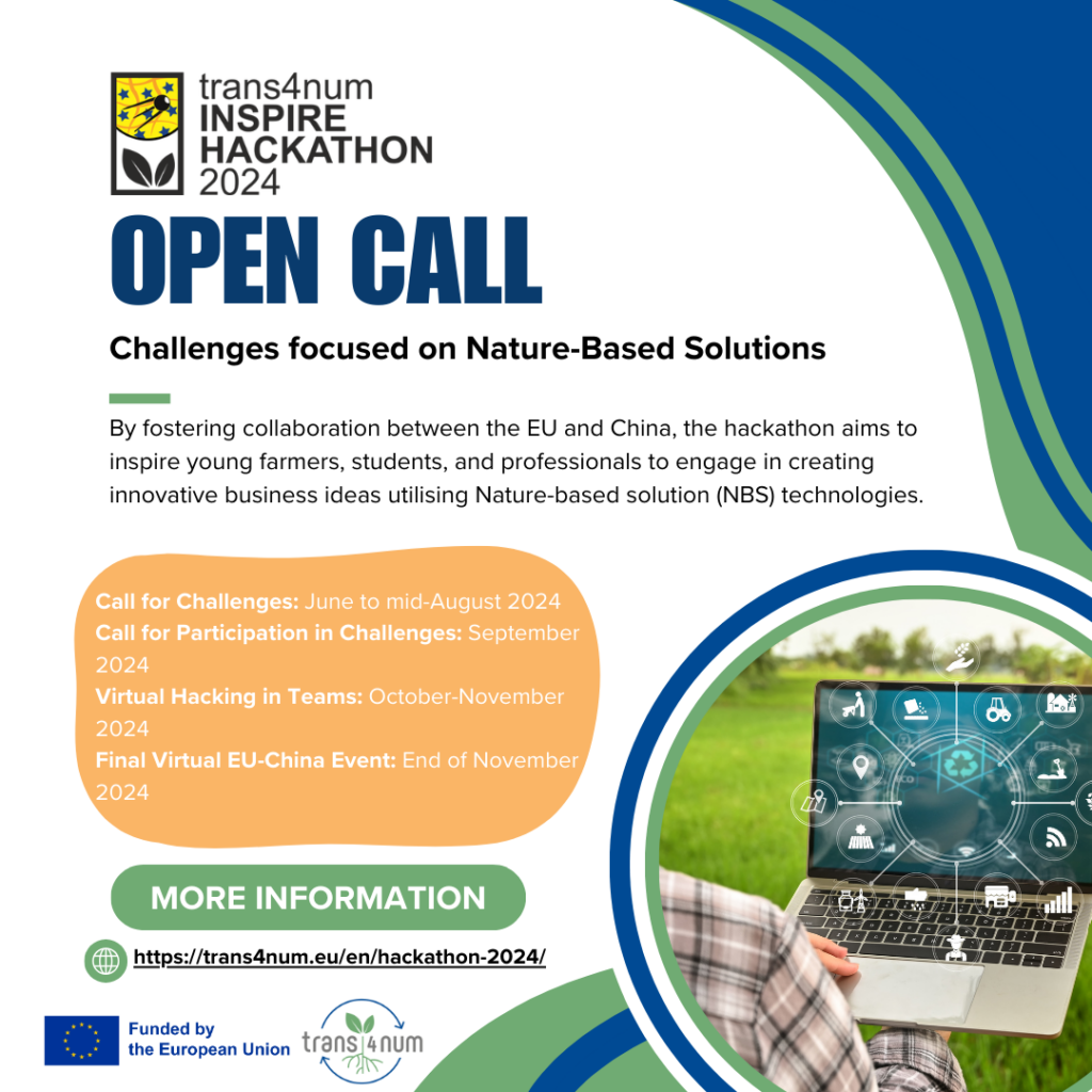
We are exited to announce that the call for challenges for the trans4num INSPIRE
Hackathon 2024
is now open!

We are looking for innovative challenge ideas focused on Nature-Based Solutions (NBS) for sustainable agriculture and land management!

By fostering collaboration between the EU and China, the hackathon aims to inspire young farmers, students, and professionals to engage in creating innovative business ideas utilising NBS technologies.

This aligns with the broader ambition of trans4num to enhance NBS implementation through a multi-level approach involving academic partners, practice partners, and societal stakeholders.

This is a unique opportunity to contribute to the development of impactful solutions, work
with like-minded individuals from around the world, and benefit from the knowledge and
experience of seasoned mentors.

Don’t miss the chance to be part of this transformative event – submit your challenge today at https://trans4num.eu/en/hackathon-2024/submit-challenge/.

More details about the hackathon: https://trans4num.eu/en/hackathon-2024/

Results of San Juan INSPIRE Hackathon 2019

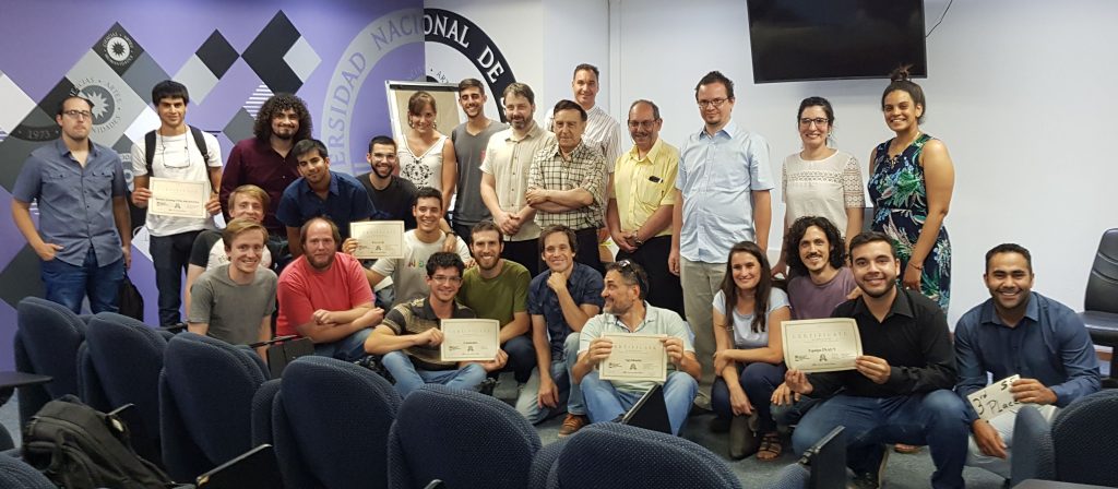
San Juan Hackathon winning ceremony

The #SanJuanINSPIREHackathon is over. All the teams did excellent work! The jury was impressed and it was really hard to evaluate the projects and select the winner.

Finally, the results are:

  • 1st place – Agrohacks
  • 2nd place – Cammalot
  • 3rd place (with the equal score) – Equipo INAUT & P.G.I.C.H
  • 4th place – Remote Sensing UNSJ Argentina

Final presentations of the team’s projects follow.

Agrohacks

Down To Earth ~ a tool alerting farmers about forecasted severe weather conditions

Cammalot

Forecast enhancement with weather station data

Prezi prezentation

Equipo INAUT

Application for reduction of agrochemicals in crops

PGICH

Water and temperatures analysis for wine production

RS UNSJ

Remote sensing data for agriculture

Information for participants of San Juan INSPIRE Hackathon 2019

This page should answer your questions related to the hackathon organization.

Questions & Answers

Where can I download the data?

  • Climatic data – data downloaded from Copernicus Climate Data Store, namely ERA 5-Land data.
  • Digital Elevation Model – source: SRTM, resp. derived ALOS Global Digital Surface Model called AW3D30.
  • Sensor data – example datasets of soil water potential, soil temperature, air temperature air humidity, from period 2016/01/26 – 2017/03/13.

Which tools can I use?

  • Euxdat e-infrastructure (test.euxdat.eu)
  • GIS packages such as QGIS, GRASS, gvSIG, ArcGIS …
  • Mathematical modeling software, such e.g. Software R, MathLab, …
  • Earth Observation data processing software, such as Goolge Earth Engine, OrfeoToolbox, …
  • Spreadsheets, such as google docs, Libre Office, Microsoft Office, …

Where should I document my progress?

  • There is a google document dedicated to the detailed description of your team. You should shortly introduce your team, describe the initial idea and keep track of your progress. You can use either the one document prepared for all teams together or you can create your own document and link it in the parent doc.

How can I provide my feedback?

  • There is a form prepared for your feedback. You can either provide feedback on behalf of the team together or you can give us your personal feedback. Please fill at least one feedback per team until the end of Friday. But you can fill the feedback continuously during the hackathon, as once you fill it for the first time, you are provided with a link to edit your feedback anytime.

Copernicus Hackathon in Villorba

Copernicus Hackathon in Villorba (Italy) will be held from 5th until 7th October 2018. For registration and more information, please go to http://www.ie4st.it/hackathon2018/

This is the first Copernicus hackathon funded by the European Commission in Italy.

The Copernicus Hackathon will give you the chance to come together with others and to explore many application fields here on Earth with free and open space data from Copernicus.

Together with other enthusiastic you will get access to Copernicus data, support from mentors and the option to follow several business and technical workshops.

Awards in the amount of 50,000 EUR.

Another Series of the INSPIRE Hackathon Webinars

The organisers of the INSPIRE Hackathon 2018 have prepared another series of webinars. These webinars include:

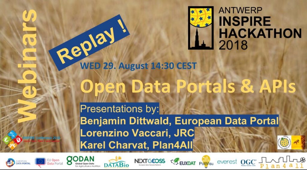
Wednesday 29 August 2018 at 2.30pm CEST on Open Data Portals & APIs

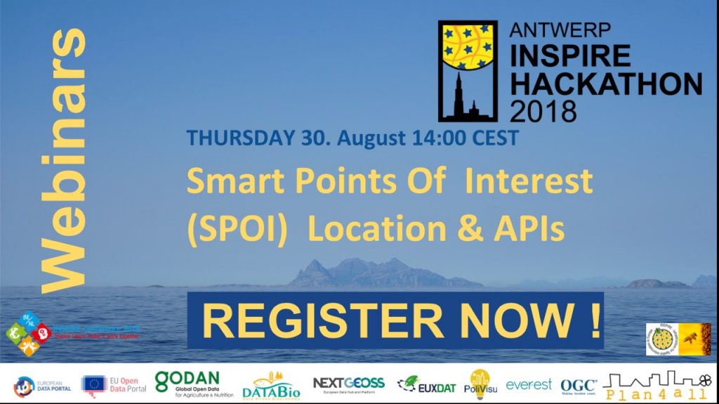
Thursday 30 August 2018 at 2pm CEST on Smart Points of Interest (SPOI) and Location & APIs – register at https://events.genndi.com/register/169105139238444764/cd48da7ab8

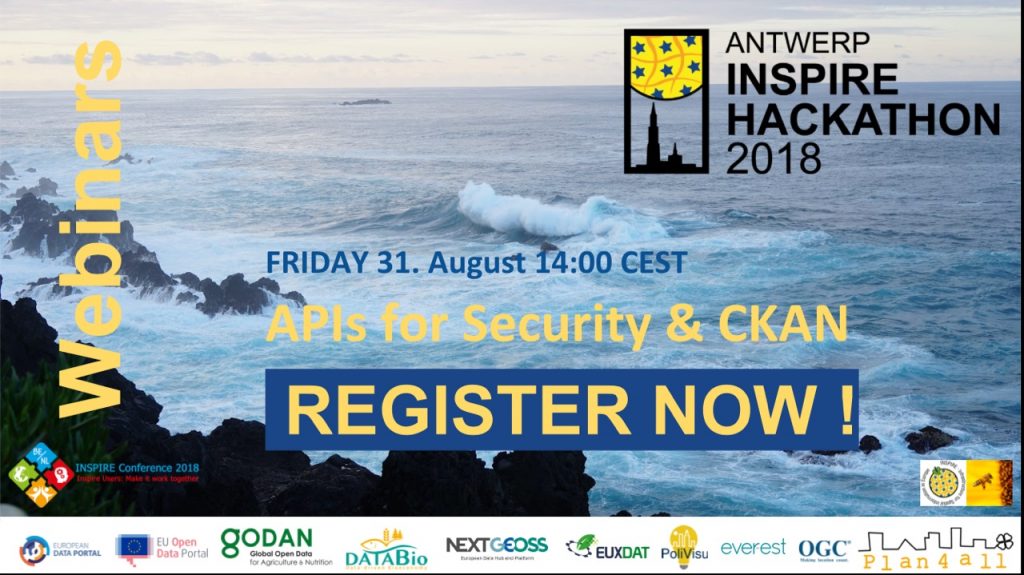
Friday 31 August 2018 at 2pm CEST on APIs for Security & CKAN – register at https://events.genndi.com/register/169105139238444764/64fb1571b3

Webinar No. 3: Essential Biodiversity Variables and their metadata

Learn about the Essential Biodiversity Variables and their metadata. You’ll meet CKAN based data hub expert Wolfgang Ksoll, Biodiversity experts Stephan Hennekens and Elnaz Neinavaz, Marie-Francoise Voidrot from OGC and expert on standards, and Karel Charvat & Bente Lilja Bye from Plan4All and a number of H2020 projects!

TEAM 7: Light Weighted INSPIRE Harmonization Using Metadata in GeoNetwork

TEAM LEADER: Paul van Genuchten

TEAM MEMBERS: Antonio Cerciello, … I’m looking for organisations that have non-harmonised datasets that are eligible for INSPIRE and are willing to go through a process of harmonisation using this light weighted approach.

PROJECT IDEA: These days many data providers implement INSPIRE data harmonization at the end of the data pipeline. The harmonized data is not used by the organisation itself. This approach has a big risk. In the harmonization process data may get lost or be placed out of context. In this experiment I want to experiment with a light weight harmonization approach based on linked data principles.

The idea is to extend the iso19110 feature catalog metadata of INSPIRE source datasets with references to relevant INSPIRE ontologies (https://github.com/inspire-eu-rdf/inspire-rdf-vocabularies) in such a way that any client software would be able to take the source dataset (as-is) combined with the extended iso19110 metadata to create basic INSPIRE GML.

This work builds on this project https://github.com/geonetwork/core-geonetwork/wiki/Use-iso19110-in-GetFeatureinfo-response-visualisation