The Open Spring INSPIRE Hackathon starts with Challenge #1: How to use and improve OLU 2.0.0

Land use and land cover information in combination with other thematic datasets related to detailed reference spatial data in localities forms an important dataset for different analyzes in different domains. At present, when it comes to the strategy of Green Deal, Destination Earth and the construction of Earth’s twins (Digital Twins), there is no model and database that would effectively gather information about the Earth’s surface in sufficient detail and in sufficiently complex links. Our activity of creating a geographic database OpenLandUse aims to be an effective step towards such a model. The OLU 2.0.0 database combines various thematic data with the most detailed reference geometry available in a given area. Thematic data sets are focused on information on soil cover, soils, topographic or climatic parameters, etc. and in different time periods. The model also supports the possibility of integrating data obtained by evaluating remote sensing data.

The database covers selected territorial units with a seamless layer, which provides information on various topics on selected reference geometry, which can be a cadastral map, LPIS soil blocks or even elements of the Corine Land Cover data set.

The original purpose of the database was mainly in analyzes for spatial planning and investment, agriculture, landscape development, etc. Our current ambition is to create a model and database that will support the creation of various models of landscape development and scenarios and support the building of large-scale digital models.

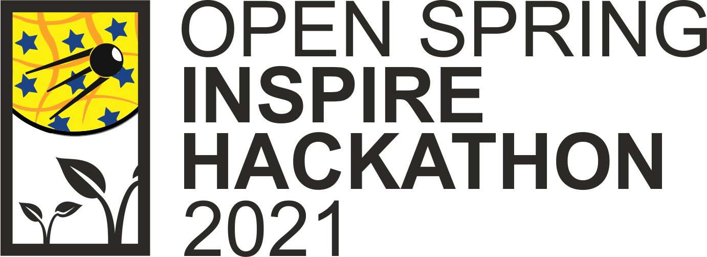
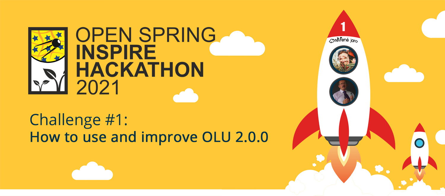
The aim of the Challenge is to verify the new OLU 2.0.0 model in various areas of human activity, so we are looking for specialists from various areas of human activity, programmers, remote sensing experts, public administration, land planners, farmers, foresters, nature conservation, real estate experts, business, investments and the like.

***The registration for this challenge opens on 1st April***
Registration link will be available at https://www.plan4all.eu/open-spring-inspire-hackathon-2021/

The mentors for this challenge are:

KRISTYNA CERBOVA Faculty of Education, Charles University in Prague. She works now as a communication manager in ROSIE project – Research and responsible innovation (Central Europe). Experience in education, languages, social sciences with a special focus on philosophy, history and archival science (2005-2007 digitalization activities in the National Archives of the Czech Republic). She works for other Plan4all H2020 projects such as LIVERUR or SIEUSOIL focusing mainly on smart agriculture topics.

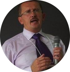
KAREL CHARVAT graduated in theoretical cybernetics. He is a member of International Society for Precision Agriculture, Research Data Alliance, vice chair of Club of Ossiach, CAGI, and CSITA. He was in period 2005 – 2007 President of European Federation for Information Technology in Agriculture Food and Environment (EFITA). Now is chair of OGC Agriculture DWG. He was organiser on many hackathons, where as most important were series of INSPIRE Hacks and MEDHackathon. He work on implementation on national INSPIRE Geoportal. Now he is also active in Plan4all association. He has long time experience in ICT for Environment, transport, Agriculture and Precision Farming. Now he is one from promoters of Open and Big Data in Agriculture in Europe. Participation in projects: Wirelessinfo, Premathmod, EMIRES, REGEO, RuralWins, Armonia, aBard, EPRI Start, Ami@netfood, AMI4For, Voice, Naturnet Redime, Mobildat, SpravaDat, Navlog, c@r, Humboldt, WINSOC, Plan4all, Habitats, Plan4business, SmartOpenData, FOODIE, SDI4Apps, AgriXchange, FOODIE, SDI4Apps, OTN, DataBio, EO4AGRO, EUXDAT, SmartAgriHub, SKIN and other projects.


An achievement with web application for agriculture

It’s our pleasure to inform you that the application FIE20: Groundwater and meteo sensors developed within the SmartAgriHubs project was successful in the WSIS Prizes 2021 contest last week.

The nominated web application has been developed during the last 2 years as one of the Flagship Innovation Experiments (FIE) of the Horizon2020 SmartAgriHubs (SAH) project. The development team was an international consortium of Union “Farmers Parliament, Latvia (Zemnieku saeima, Riga), Latvian technological company BOSC (Baltic Open Solutions Center, Riga), Czech technological company Lesprojekt (Lesprojekt-služby s.r.o., Záryby), Czech Living Lab WirelessInfo (WIRELESSINFO, Litovel) and Swiss company meteoblue (meteoblue AG, Basel). Roles of the members are BOSC as main technology coordinator, Lesprojekt as analytical functionality developer and meteoblue as provider of meteorological and climatic data, Zemnieku saeima is responsible for stakeholder management, user requirements and dissemination.

The web application integrates data from e.g. sensors on farm or fields (different sensors from various data providers and integrates in common data model of SensLog application),  it provides available thematic spatial data (field blocks, protected zones, soil maps), regularly updated remote sensing data (optical or radar images from Copernicus Sentinel-1 or Sentinel-2 satellites and derived vegetation indices or soil moisture) and it provides also current weather forecast as well as historical climatic data for selected farm. The developed web application offers various analyses starting from recommendations for field interventions planning based on weather forecast or decision-making support based on EO and remote sensing data for vegetation status, yield productivity zones delimitation etc. The web application uses functionalities of Lesprojekt Cloud and it is a unique solution due to the integration of various data and functionalities in one complete application. 

The web application is hosted on the Digital Innovation Hub of the Farmers Parliament (https://groundwater.smartagro.lv/fie/index.html?lang=en) and utilizes analytical functions of the Czech FOODIE SmartAgrihub (www.agrihub.cz) and the whole infrastrukture of the Lesprojekt Cloud. The application was tested in Latvia primarily and testing in other countries is starting in these weeks. 

The application is available at:  https://groundwater.smartagro.lv/

The application was selected to the 360 nominated projects from a total of 1270 proposals to the WSIS Prizes 2021 contest. Next goal of being part of the selected 90 applications can be supported by YOU –  by YOUR VOTE. The application “FIE20: Groundwater and meteo sensors” is nominated in the Category 12 “AL C7. E-environment”. 

Please, support our colleagues by YOUR VOTE by the end of March! 

How to vote for FIE20: Groundwater and meteo sensors?

  1. Registration – please register under the following link, you will receive a verification email with a link https://www.itu.int/net4/wsis/stocktaking/Account/Register?ReturnUrl=%2Fnet4%2Fwsis%2Fstocktaking%2FPrizes%2F2021%2FVote
  2. Log in 
  3. In the menu, click on Prizes and then on the Vote button (or directly on the link below)
    https://www.itu.int/net4/wsis/stocktaking/Prizes/2021/Vote
  4. Select a category: AL C7.E-environment and you can vote

The OGC Reference Architectures in Agriculture Workshop

In the last five years the OGC Agriculture Domain Working Groups organised a number of events, discussing different aspects of interoperability. For the 118th OGC Member Meeting we have decided to organize a workshop prior to the Meeting week. The workshop is scheduled on 17th March between 2 PM and 6 PM CET.  

The workshop consists of two parts:

  • The first part will be dedicated to the presentation of a limited number of reference architectures, which were developed in last years or which are now being designed (e.g. in relation to the European initiative Destination E)
  • The second part will be a moderated Round Table. We will analyze actual challenges and issues, define most important standardisation and harmonisation tasks, identify different standardisation efforts and prepare recommendations to other OGC working groups and developers of related platforms.

This should lead to the extension of the Agriculture DWG and provide the standardisation support for building of new solutions.

The Workshop Agenda – March 17th, 2:00 PM – 6:00 PM CET (Room A)

1st part 2:00 – 4:30 PM (9:00 AM – 11:30 AM EDT)

  • Karel Charvat (Plan4all) – Lesprojekt cloud as tool for support integration of Agriculture Data
  • Francisco Javier – EUXDAT Infrastructure
  • Nils Hempelmann at all – IoT Demeter architecture
  • Dominique Laurent – Standardisation topics identified by the NIVA project
  • Arne Berre – DataBio and BDVA/DAIRO reference models
  • TBC Trimble

Break 4:30 – 4:45 PM CET (11:30 AM – 11:45 AM EDT)

2nd part 4:45 – 6 PM CET (11:45 AM – 1 PM EDT) – Roundtable with experts on Metadata, IoT, BDVA, Earth Observation, Semantic

Register for the workshop at https://store.ogc.org/.

Land 2021 Travel Awards – Open for Application (deadline: 27 February 2021)

The Land 2021 Travel awards provide financial support for the winners to attend an international conference in the field of land use/land change, land management, land system science, soil system and landscape, etc., to be held in 2021, in order to hold a presentation, present a poster, or both.

The winners (two awardees) will each be awarded 800 CHF and a certificate.

The applications will be assessed by an Evaluation Committee consisting of senior scholars from the Land Editorial Board. Please share this announcement with any colleagues you think might be interested.

Please submit your applications for the Land 2021 Travel Awards online by 27 February 2021. Prizes will be awarded at the end of March 2021 and announced on the Land website.

To find out more about the requirements for candidate participation and application support materials, please visit https://www.mdpi.com/journal/land/awards/1203.

Webinář 7: Regionální speciality – internetová platforma pro podporu lokálních výrobců a přímého prodeje jejich produktů

Dostupnost lokální produktů a podpora místních farmářů jsou témata, která nabývají velkého významu i vzhledem k aktuální koronavirové situaci. Wirelessinfo v loňském roce připravilo nástroje pro on-line prodej farmářských produktů na lokální úrovni a současně pro propagaci jednotlivých farem v zájmovém regionu. Základem tohoto řešení je propojení regionálních informací o farmářích a jejich dostupných produktech s internetovou platformou pro obchodování s těmito produkty. Na webináři, který se bude konat 23.2. ve 13:00, Vám představíme některé z možností, jak tyto nástroje využít a také zkušenosti z pilotního provozu na Klatovsku.

Program webináře:

  • Regionální speciality – technologické řešení
  • Zkušenosti z pilotního testování
  • Význam pro region

Registrujte se na webinář ZDARMA již nyní prostřednictvím odkazu, který najdete ZDE!

Open Spring INSPIRE Hackathon 2021: Call for Challenge Proposals

Another INSPIRE Hackathon is currently in its preparation! The Open Spring INSPIRE Hackathon 2021, organized by Plan4all association in cooperation with organizations such as WirelessInfo or the Czech Center for Science and Society, will be 18. INSPIRE Hackathon and already the fourth one that will be organized fully virtually with the respect to the current situation. The uniqueness of INSPIRE Hackathons lies in the fact that it is not just a multi-day event, but a comprehensive and long-term process, in which the emphasis is on using the results and knowledge gained from previous INSPIRE Hackathons.

The Open Spring INSPIRE hackathon 2021 will be focused on developments and innovations in agriculture, the environment, transport, tourism, geospatial applications or remote sensing and GNSS.

During the months of April and May, when the hackathon will take place, we offer you an unique opportunity to try out our new technologies and infrastructures, which will be open to all developers. At the same time, it will be possible to apply and integrate technologies into projects at your own discretion and experience. INSPIRE Hackathon opens up opportunities for cooperation in the development of various solutions with participants from all over the world, and at the same time offers everyone the enrichment of their own experience.

For each INSPIRE Hackathon, several challenges are defined in advance. Hackathon participants seek solutions for the challenges under the guidance of one or more mentors. The task of the mentors is to coordinate the team work within the challenge, ensure communication in the team and ensure that the team’s results are presented at the final virtual event, which closes the entire hackathon. Progress reports of challenges and ongoing information related to the hackathon will be published in Czech on the Open Spring website and also in English on the Plan4all website. All results will then be published and integrated on the portals www.agrihub.cz and hub.plan4all.eu, which serve as a technological, presentation and knowledge base.

We are already open to your ideas and suggestions that we will happily include among the challenges and goals of this hackathon. In case of an interesting idea for the solution of a certain problem, we can also offer you further development or commercial deployment of your solution even after the end of the hackathon.

Your challenge proposals should include:

  • The title of the challenge
  • Name of mentor – You can also be a mentor!
  • Abstract (maximum 250 characters)
  • Short description of the call / issue (maximum 250 characters)
  • Extended description of the call / issue (approx. 1800 characters)
  • Category (eg GIS, sensors, application development…)
  • Requirements for team members: (eg backend development, frontend, UX specialist, graphic designer, GIS specialist, agronomist, traffic engineer, state administration…)
  • The aim of the challenge

The call for challenge proposals for the Open Spring INSPIRE Hackathon is open until 21st March 2021! Please send your ideas to hana.kubickova@plan4all.eu. We will continuously publish the proposals you have sent on the Open Spring and Plan4all websites.

Webinář 4: Agronode – autonomní telemetrická IoT stanice

Únorový program Otevřeného jara zahajujeme webinářem věnovaným autonomní telemetrické IoT stanici – Agronode.

Cílem tohoto webináře je seznámit Vás se stanicí navrženou pro sběr, uchování a online přenos pomocí bezdrátových IoT sítí širokého spektra fyzikálních, chemických a dalších veličin na základě využití komerčně dostupných senzorů.

Na webináři také představíme možnosti a typy připojitelných externích senzorů, příklady použití a aktuální vývojové aktivity.

Program webináře:

  • Agronode – telemetrická IoT stanice a dostupné senzory (Marek Musil)
  • Agronode aplikace a vývoj (Tony Kubíček)

Webinář se koná příští úterý 2.2.2021 v obvyklém čase 13:00.

Registrujte se na webinář ZDARMA již nyní prostřednictvím odkazu, který najdete ZDE!

Poznámka: Odkaz k připojení na webinář dostanete po registraci emailem nejpozději jeden den před konáním webináře.

www.otevrenejaro.cz

OGC Testbed-17: Call for Participation (CFP)

The Open Geospatial Consortium (OGC) is releasing this Call for Participation (CFP) to solicit proposals for the OGC Testbed-17. The Testbed-17 initiative will explore eleven tasks, including Application Programming Interface (API) development, enhanced GeoJSON, Aviation, CITE, Geo Data Cubes, Sensor Integration, Moving Features from motion imagery, Security, Federated Cloud Analytics, COG & Zarr, as well as Model Driven Standards.

CFP Proposal Submission Deadline (11:59pm EST) is on 24 January 2021.

For more information, visit https://portal.ogc.org/files/?artifact_id=95726.

Webinář 1: Tvorba mapových podkladů pro variabilní aplikace v precizním zemědělství pomocí webového nástroje

Webinář 1: Tvorba mapových podkladů pro variabilní aplikace v precizním zemědělství pomocí webového nástroje

12.1.2021, 13:00

Jedním ze způsobů, jak zvýšit efektivitu hospodaření na zemědělské půdě jsou variabilně provádění pěstební zásahy využívající technologie precizního zemědělství. Ty jsou prováděny na základě mapových podkladů, které vychází z mapování nevyrovnanosti půdy a zohledňují dlouhodobé relativní variability výnosů v různých částech pozemku, takzvaných produkčních zónách.

Na prvním lednovém webináři, který se bude konat v rámci sekce webinářů nesoucí název Otevřené jaro, se stručně seznámíme s principem vytváření map produkčních zón zohledňující dlouhodobou variabilitu výnosů pomocí využití volně dostupných dat dálkového průzkumu země a ukážeme si webový nástroj, který slouží k vytváření aplikačních map pro využití v zemědělské technice na základě takto získaných map produkčních zón.

Pro připojení k webináři použijte, prosím, následující odkaz:

Join Zoom Meeting
https://zoom.us/j/91789159796?pwd=cGJDZXZTdllYQ0d4TFEzTGErMCt5QT09

Meeting ID: 917 8915 9796
Passcode: 305191
One tap mobile
+420239018272,,91789159796# Czechia
+420538890161,,91789159796# Czechia

Těšíme se na Vás!

Partneři akce:

Plan4all z.s.

České centrum pro vědu a společnost (CCSS)

Katedra geomatiky Západočeské univerzity v Plzni

Lesprojekt – služby s.r.o.

Zemědělský svaz

WIRELESSINFO

Club of Ossiach