Open Bioeconomy Week starts on Tuesday 29th September

Open Bioeconomy Week will be arranged on 29th and 30th September, 2020 at Hämeenlinna University Center at the premises of Häme University of Applied Sciences (HAMK) in Hämeenlinna, Finland. The event is supported by the Regional Council of Häme with the regional enterprises and other organizations working within the bioeconomy sector. Together with HAMK the organizing committee of the event consist of the leading national research and innovation organizations such as Aalto University, Natural Resources Institute Finland (Luke), VTT Technical Research Centre of Finland, Finnish Environment Institute (SYKE) and University of Helsinki

Due to the current unpredictable circumstances with Covid-19, the Advisory Board and organizers have made a responsible decision to move Open Bioeconomy Week 2020 online.

Open Bioeconomy Week 2020 Program

Tuesday 29th (Main program & Abstract session: Food Value Chain)

  • Program at this link starts 10:00 am (Helsinki GMT+3) & finishes 16:15 pm

Tuesday 29th (Abstract session: Digitalization and Carbon Sequestration)

  • Program at this link starts 11:00 am (Helsinki GMT+3) & finishes 15:30 pm

Wednesday 30th (Circular Economy & Business Day)

  • Program at this link starts 10:00 am (Helsinki GMT+3) & finishes 12:30 pm

To learn more about the conference agenda, please visit this website.
In case, you are interested in attending this unique event, please find a registration details HERE!

W3C/OGC Joint Workshop Series on Maps for the Web

This workshop series brings together experts in geographic standards and Web map data services, Web mapping client tools and applications, and Web platform standards and browser development, to explore the potential of maps for the Web.

The workshop program offers a lot of interesting sessions and we are happy to be a part of one of them. On Wednesday 30th September at 18:00 CEST starts a session dedicated to Advanced web graphics for mapping that will continue with one hour panel session. The concluding breakout session will allow smaller groups of interested workshop participants to hack on a technology or get a deeper understanding of a topic.

Developers of Plan4all, Lesprojekt, BOSC and AVINET have set out to build a concept that is to map-making what Google Docs is to word processing; a shared user interface that enables people to collaboratively build maps and edit spatial data where each is able to see the changes contributed by other users – as they are made.
The working title of their effort is a “Map Whiteboard” and the transport and storage for data is a JSON based format called “Map Compositions” that draws on the early work of Web Map Context documents, but that extends them with 20 years worth of added features.
With the proposed technology, we will support a number of common use cases for “maps” that have shown themselves exceptionally resilient despite the many and significant improvements that have been made to map technology.

In 2020, despite being more than 20 years into the era of web mapping, surprisingly many meeting rooms in government institutions the world over are still littered with large-format paper maps over which serious looking men and women stand hoodled, pointing with their fingers and drawing with markers — before handing the manuscript back to the resident GIS expert who puts them back into the data. With the proposed map whiteboard technology, this experience can be taken online, improving the accuracy and quality of the data and, albeit in a very small way, aiding the environment by reducing the amount of paper consumed. Thus far we support OpenLayers based clients for real-time map editing as well as visualization of Map Compositions in OpenLayers based clients and desktop clients like QGIS. (Read the full text HERE.)

A Map Whiteboard for Collaborative Map-Making and Data Capture will be introduced by Karel Charvát during the Advanced web graphics for mapping session.

A Full Agenda of the session: 

  • Map adventures in weird web standards – gyroscopes, texture cubes, and mutants (: position statement)
  • Map Compositions format (Karel Charvat: position statement)
  • MapML implementations in MapServer, GDAL and OGR (Daniel Morrissette)
  • OffScreenCanvas for rendering performance (Andreas Hocevar)
  • Dynamic and Observational Spatial Data (: joint position statement)

Are you interested in the workshop? Then do not hesitate to register HERE!

Registered Participants!

Check your email for the calendar file with Zoom video-conference links.

Not registered?

Video sessions will be posted on YouTube with continued discussion happening on the WICG Discourse.

Upcoming Webinar on Maps Sharing – QGIS Plugin and HSLayers-NG demonstration

Do you have GIS-related data you want to share using open technologies? We will present you a way to publish data using QGIS via Layman QGIS Plugin and visualize them using HSLayers-NG, which is a web-based application for sharing data and maps from different HUBs with a broad community. These tools can contribute to enabling Citizen Science Network creation for better data sharing and understanding. A webinar dedicated to challenge 3 of COVID 19 INSPIRE Hackathon is scheduled on 1st October. 

Register now!

Agenda

  • Map data publishing architecture
  • QGIS Plugin demonstration – how to make a map composition and upload it on a HUB
  • HSLayers-NG demonstration – how to retrieve, edit and display data on a web from a HUB issue with Agriculture industry
  • Q&A

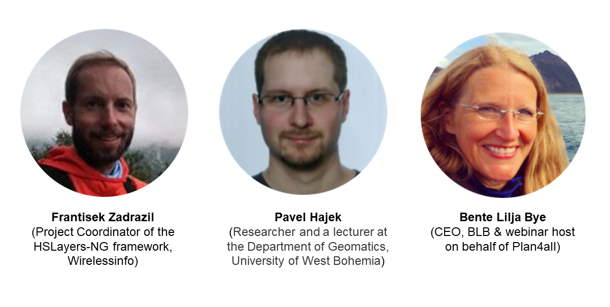
You will hear from 

Did you miss the webinar? You can watch it now! :)

Webinar on Digitization of Indigeous knowledge in African Agriculture on 30 September

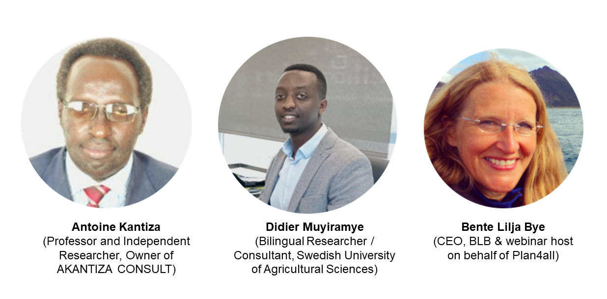
Why is the traditional knowledge of African agriculture disappearing? This is what will be discussed during the upcoming webinar scheduled on 30th September and you are cordially invited to hear from our presenters Antoine Kantiza and Didier Muyiramye.

Register now!

Agenda

  • Current state of indigenous knowledge in African agriculture
  • Best practices driven from Indigenous Knowledge in African Agriculture
  • Q&A

The young generation of smallholder farmers aren’t aware of indigenous knowledge.

Indeed, Africa farmers are mostly experiencing modern agriculture using imported inputs letting expect better productivity than in former times led by their old parents. Nevertheless African agriculture is still unproductive and the food deficit is increasing in many areas of Africa.

The indigenous knowledge in agriculture is not learned at modern schools and there is a common agreement asserting that indigenous knowledge in agriculture doesn’t matter.

The traditional languages what are the support of indigenous knowledge are also shrinking as well as indigenous knowledge mostly used in climate change resilience; in choosing right period of seeding by best weather forecasting; in mixing crops for best productivity; in storage crops during a long-run, in preparing seeds and planting required to face a long dry season and so on.

In the same few scarce seeds for feeding the population in periods of hunger as well as serving for medicines for humans and for domestic animals are disappearing due to the lack of know-how in the field, disappointed by modern technologies used in agriculture and livestock in a lot of remote rural areas of Africa.

You will hear from 

Register now!

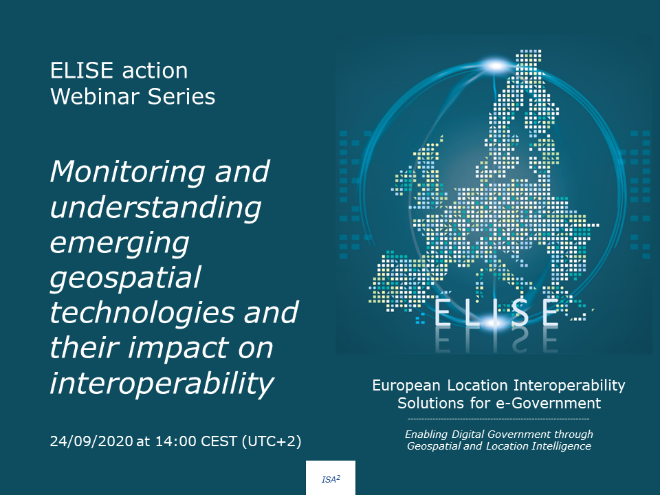
ELISE webinar: Monitoring and understanding emerging geospatial technologies

In this webinar, Danny Vandenbroucke from KU Leuven and Gobe Hobona from the Open Geospatial Consortium, both geospatial experts, will walk you through following topics

  • What are the key drivers and general trends: looking at the vision and understanding of the UN-GGIM and other communities.
  • How can we monitor and assess technological trends: an overview of some isolated studies and more comprehensive approaches.
  • An overview of the major trends and how they fit together (and influence each other).
  • Interoperability challenges and efforts: evolving architectures and standards.
  • Ways to get acquainted with new technologies: experimenting using testbeds, sandboxes or living labs.

This webinar is part of a series of “Webinars” performed by the European Commission’s Joint Research Centre under the ELISE ISA2 Action. The aim of these studies is to quickly engage with new topics of relevance to location interoperabilitythe digital transformation of government and socio-technical developments in this arena.

The webinar will take place on the 24/09/2020 at 14:00 CEST (UTC+2).

For more information, click HERE.

If you are interested in this webinar, do not hesitate to register HERE. You will receive a confirmation email with the instructions on how to join this webinar.

COVID 19 HACKATHON WEBINAR SERIES IS ABOUT TO START

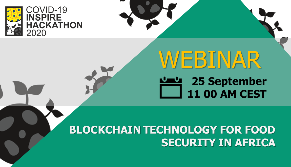
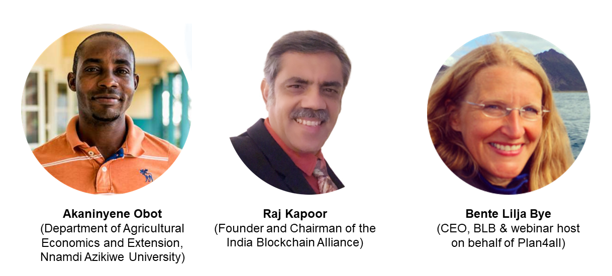
The COVID 19 INSPIRE Hackathon webinar series is starting this Friday 25th September! The webinar series will be kicked off with the webinar called Blockchain technology to ensure food security in Africa and you are cordially invited.

Register now!

Food security is vital in the COVID-19 pandemic era and post COVID-19 as Africa still struggles to achieve food security. In achieving food security, technology becomes important so as to ensure that the farmers get their due benefit. Blockchain technology will be simplified so as to ensure that all farmers and other stakeholders benefit from their produce.

Africa has 65% of the world’s remaining uncultivated arable land, an abundance of freshwater and about 300 days of sunshine each year. More than 60% of Africa’s working population is engaged in agriculture, and the soil across most of the continent is rich and fertile. We are losing precious foreign exchange by continuing to pay for food to be imported, so we must quickly eliminate the negative balance, and start to sow, grow, process, consume, and ultimately to export the food ourselves. Modern agriculture, driven by technologies such as blockchain technology can track the provenance of food and thus helps create trustworthy food supply chains and build trust between producers and consumers. As a trusted way of storing data, it facilitates the use of data-driven technologies to make farming smarter. In addition, jointly used with smart contracts, it allows timely payments between stakeholders that can be triggered by data changes appearing in the blockchain This challenge examines the applications of blockchain technology in food supply chains, agricultural insurance, smart farming, transactions of agricultural products for both theoretical and practical perspectives. The challenges also will discuss the recording transactions made by smallholder farmers and creating the ecosystem for utilizing the blockchain technology in the food and agriculture sector.

The webinar’s agenda:

  • The issue with Agriculture industry
  • Reshaping the agriculture industry with blockchain
  • Blockchain 10 possible use case
  • Q&A

You will hear from

Register now!

Did you miss the webinar? Watch it here :)

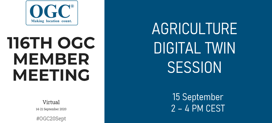
AGRICULTURE DIGITAL TWIN SESSION DURING OGC TC

We would like to cordially invite you to join us at the upcoming Open Geospatial Technical Committee meeting organised by Agriculture DWG of OGC. The topic of this session will be Digital Twins for Agriculture. The session is scheduled on 15th of September 2020 between 14 00 CEST (8 00 EDT) and 16 00 CEST (10 00 EDT).

  • Karel Charvat (Plan4all) – EO4Agri White Paper
  • Peter Baumann (rasdaman GmbH.) – Datacubes for Optimizing Agriculture
  • Valantis Tsiakos (Institute of Communication & Computer Systems (ICCS) – An integrated EO-based toolbox for modernising CAP compliance monitoring and assessing respective environmental impact
  • Karel Jedlicka (UWB, Plan4all) – Calculation of agro-climatic factors from global climatic data
  • Emmanuel Mondon & Alexandre Cadain (Maxar/Anima) – Impact gaming leveraging EO (satellite, in-situ & 3D) applied to Agriculture Digital Twins
  • Walter Mayer (Progis) – Sustainable management of NATURE supported by time related satellite images, newest technology, local knowhow and global cooperation
  • Michal Kepka (BOSC) – SensLog – an interoperable solution for sensor data
  • Louis Cousin (Startinblox) – Inter-connecting geospatial and agricultural sectors: towards universal interoperability standards
  • Stefano Nativi (JRC) – Green Deal Data Space initiative and in particular the Destination Earth action
  • Zara Khan (Planet) – Planet designs, builds and operates the largest constellation of imaging satellites in history, delivering near-daily imagery of anywhere on Earth

You don’t have to be an OGC member to attend an OGC meeting. This session is open to anyone to attend and new voices are always welcome.

REGISTER NOW!

Registration for the session is free for OGC members. In case you are not the OGC member and you are interested in the session, do not hesitate to contact hana.kubickova@plan4all.eu and get the 50% reduction of full week conference fee.

CHALLENGE #13 Calculation of agro-climatic factors – potential source of information for forecasting regional food supplies

Register now!

Mentors: Karel Jedlicka, Michal Kepka

The challenge aims to calculate all relevant agro-climatic factors (see below) in order to describe an area of interest comprehensively, using the algorithms published here. The challenge aims to test the global applicability of the factors’ calculations – thus we look forward to a wide variety of case study areas). 

 Following agro-climatic factors can be calculated:

  • frost-free periods, growing degree units, heat stress units, number of (optimal) growing degree days from temperature.
  • nitrogen application window from soil temperature.
  • accumulated solar radiation from incident sunlight.
  • water balance from precipitation, evapotranspiration, and runoff data.

The algorithms calculating the factors will primary use the worldwide ERA5 Land dataset as a climatic data source. Nevertheless, other data sources can be leveraged as well, e.g.the Copernicus regional reanalysis for Europe (CERRA), meteoblue historical API, free meteorological data from the Norwegian Meteorological Institute (API, download) or others.

To assess the input data quality (which of course influences the accuracy of the calculated agro-climatic factors), an evaluation has to run. In the case of the ERA5 Land dataset, the uncertainty will be evaluated using the information from the reduced resolution member ensemble (EDA) of ERA5.

However, to come to a “ground truth” as much as possible, our aim  is to compare the input climatic data to some in-situ  sensors in the area of interest and then discuss the limits of leveraging the global data.

Register now!

About your mentors
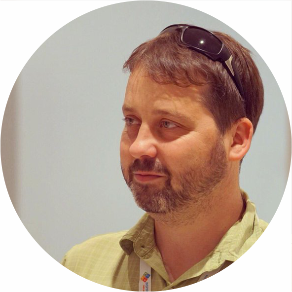
KAREL JEDLICKA The theoretical background of Karel’s research lies in modeling, analysis, and even simulation using multidimensional (geographic) data structures. In particular, Karel actively researches on 3D and 4D aspects of Geographical Information Systems. Primarily Karel focuses on the following application domains: 

  • analysis of trends in climatic and weather data for agricultural purposes and 
  • influence on transport to the city life, by designing and developing interactive traffic models for Digital twins of Smart cities.

Karel has been leveraging his skills in various EU projects since 2007. Karel usually acts as a leader of a small research or technical team in the project. He participated, namely in Stargate, EUXDAT, AfarCloud, and DataBio projects related to agriculture and in DUET, PoliVisu, and OpenTransportNet projects related to Smart Cities.

MICHAL KEPKA is a researcher that participated in many EU projects (e.g. AFarCloud, SmartAgriHubs, FOODIE, DataBio, SDI4Apps etc.) as geomatician, spatial data modeller, software developer, sensor data expert. PhD at the University of West Bohemia in Geomatics (2018). Research activities: spatial data modelling, application design and development, sensor data processing and publishing according to standards (e.g. OGC SOS, SensorThingsAPI, OMA NGSI).

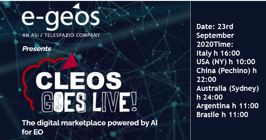
CLEOS: ACCELERATING THE USE OF AI IN EARTH OBSERVATION

e-Geos presents CLEOS, the all-in-one solution to master the digital revolution of geoinformation services. As a user of CLEOS you can access the digital services of the market vertical application platforms, proprietary data (COSMO-SkyMed and, soon, COSMO Second Generation), EO and non EO third party data, specific microservices (e.g. SAR Data Preparation, Change Detection) and much beyond.

High-Valued Insights Powered by AI

A prominent feature of the CLEOS Platform is the ‘The AI Factory.’ It provides the users a friendly, professional environment to build, test, validate and scale AI based geoinformation services.

CLEOS is driven by the objective of creating Happy Customers with Frictionless Customer Experience, and its extraordinary functionalities make it super qualified to accomplish that!

Curious to know more? Read blog on – CLEOS: Taking geoinformation analytics to new heights.

REGISTER NOW!

CHALLENGE #12 Atlas of Social Enterprises

Register now!

Mentor: Radoslav Delina

The rapid pressure on the development of the social economy has often been caused by the inefficient development of social enterprises. Low transparency of their production, location or their potential to meet market demands, lack of information and unavailable geospatial and other relevant analyzes of social economy development, as well as non-existent infrastructure of services supporting voluntary activities (or potential employability of severe health disabled) or added value of social entrepreneurship hamper increasing and streamlining their production and sustainability.

This challenge focuses on solving the mentioned problems by promoting information, easier connection of voluntary work with the needs of social enterprises, (eg through harvesting days at social farms), or opportunities to participate in regionally available severe health disabled, or. vulnerable groups into the social enterprise as well as raising awareness of its production, quality, needs (eg work) and social benefits.

The application should be at the appropriate level of complexity based on Atlas of best practices, or other mapping tools:

  • Visualize the location of a social enterprise, with information about its character, production and social value
  • Visualize their actions such as Harvesting days, local social markets as well as demands for team building or. Other types of actions that can be implemented on social farms, or Other social enterprises
  • Visualize the business potential mainly for the public sector in the framework of social public procurement
  • Visualize the business potential mainly for the public sector in the framework of social public procurement
  • Visualize the needs of the company with mapping the offer of suitable volunteers and vice versa
  • Visualize the job offer of severe health disabled, or other vulnerable groups
  • Visualize the growth potential of social entrepreneurship in terms of needs as well as social job market opportunities
  • Visualize trends, developments, gaps in the social market for the needs of policy makers

The Atlas of the Best Practices will be used as the basic technological platform, on which a prototype of the application of social enterprises and farms will be created.

The Atlas of Social Enterprises and Farms will be an information tool for clarifying the location, supply and needs of social enterprises, including social farms. The application will be open to other relevant applications that could suitably complement the content for services for social enterprises. Target users will be:

  • End customers looking for production with a higher social benefit in the required quality
  • Volunteers looking for opportunities to volunteer on social farms and in social enterprises
  • Severe health disabled with the opportunity and willingness to work
  • Public and commercial contracting authorities looking for an offer of social enterprises on a regional scale
  • Social enterprises looking for outlets and job assistance
  • Policy makers, ministries, associations interested in the development of the social economy looking for a better tool to clarify the state of social enterprises, their production, market gaps, needs, development, potential, etc., which will support the decision-making of governments and local governments.

The application should be interoperable and interconnectable with other pilot projects and services appropriately complementing the atlas of social enterprises and farms extending services and information for better sustainability and development of social enterprises (eg connection to job portals, supply chains, public procurement software, etc.)

Main topics of the challenge:

  • The method of connecting available information sources, or modeled
  • Design of indicators for better decision making
  • Creation of data structure and method of data collection
  • Different forms of visualizations
  • Creating a model applications
  • Links to third party applications

Register now!

About your mentor

RADOSLAV DELINA graduated at the Faculty of Economics, Technical University of Kosice, Slovakia. He has experiences from memberships in the European RTD Evaluation Network (Ares(2013)437085-MS) under DG Research and Innovation of European Commission, MGA WG DG R&I, expert advisor for the Ministry of Education Slovak Republic, for Ministry of Foreign Affairs of Japan in the field of research and innovation and international cooperation and from expertise for EC in different several initiatives. Radoslav has extensive RTD experiences from EU FPx research and development projects in the field of digital and data services innovation in different areas and as evaluator of FPx and national projects in different countries. Nowadays, he is focusing on socially responsible digital innovation with higher societal impact, transparency, smart data (data mining) services, e-procurement and decision making process automation. He is developing the concept of social farming 4.0, where smart technologies are helping with working inclusion and sustainability. He is a strong supporter of higher data driven transparency and social inclusion. His commercial activities are focusing on market intelligence for strategic and operational supply chain, fraud detection and public procurement transparency. Radoslav was the coordinator of H2020 CSA WIRE2017 project in the field of socially responsible digital RTD and reducing inequalities. He won first prize on eBF – Fair Sourcing Award in the IDEA section with data driven innovation for e-procurement.