
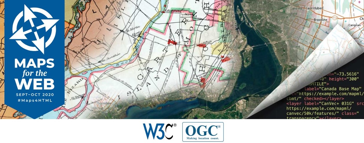
This workshop series brings together experts in geographic standards and Web map data services, Web mapping client tools and applications, and Web platform standards and browser development, to explore the potential of maps for the Web.
The workshop program offers a lot of interesting sessions and we are happy to be a part of one of them. On Wednesday 30th September at 18:00 CEST starts a session dedicated to Advanced web graphics for mapping that will continue with one hour panel session. The concluding breakout session will allow smaller groups of interested workshop participants to hack on a technology or get a deeper understanding of a topic.
Developers of Plan4all, Lesprojekt, BOSC and AVINET have set out to build a concept that is to map-making what Google Docs is to word processing; a shared user interface that enables people to collaboratively build maps and edit spatial data where each is able to see the changes contributed by other users – as they are made.
The working title of their effort is a “Map Whiteboard” and the transport and storage for data is a JSON based format called “Map Compositions” that draws on the early work of Web Map Context documents, but that extends them with 20 years worth of added features.
With the proposed technology, we will support a number of common use cases for “maps” that have shown themselves exceptionally resilient despite the many and significant improvements that have been made to map technology.
In 2020, despite being more than 20 years into the era of web mapping, surprisingly many meeting rooms in government institutions the world over are still littered with large-format paper maps over which serious looking men and women stand hoodled, pointing with their fingers and drawing with markers — before handing the manuscript back to the resident GIS expert who puts them back into the data. With the proposed map whiteboard technology, this experience can be taken online, improving the accuracy and quality of the data and, albeit in a very small way, aiding the environment by reducing the amount of paper consumed. Thus far we support OpenLayers based clients for real-time map editing as well as visualization of Map Compositions in OpenLayers based clients and desktop clients like QGIS. (Read the full text HERE.)
A Map Whiteboard for Collaborative Map-Making and Data Capture will be introduced by Karel Charvát during the Advanced web graphics for mapping session.
A Full Agenda of the session:
- Map adventures in weird web standards – gyroscopes, texture cubes, and mutants (: position statement)
- Map Compositions format (Karel Charvat: position statement)
- MapML implementations in MapServer, GDAL and OGR (Daniel Morrissette)
- OffScreenCanvas for rendering performance (Andreas Hocevar)
- Dynamic and Observational Spatial Data (: joint position statement)
Are you interested in the workshop? Then do not hesitate to register HERE!
Registered Participants!
Check your email for the calendar file with Zoom video-conference links.
Not registered?
Video sessions will be posted on YouTube with continued discussion happening on the WICG Discourse.