Final EO4Agri Workshop

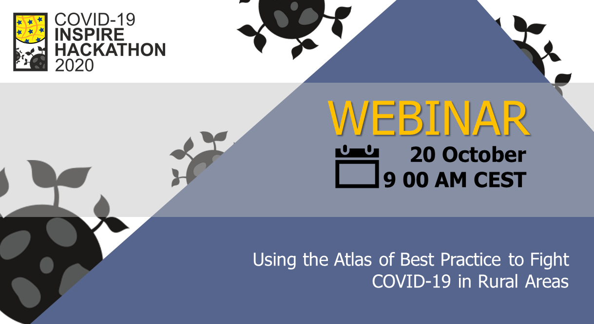
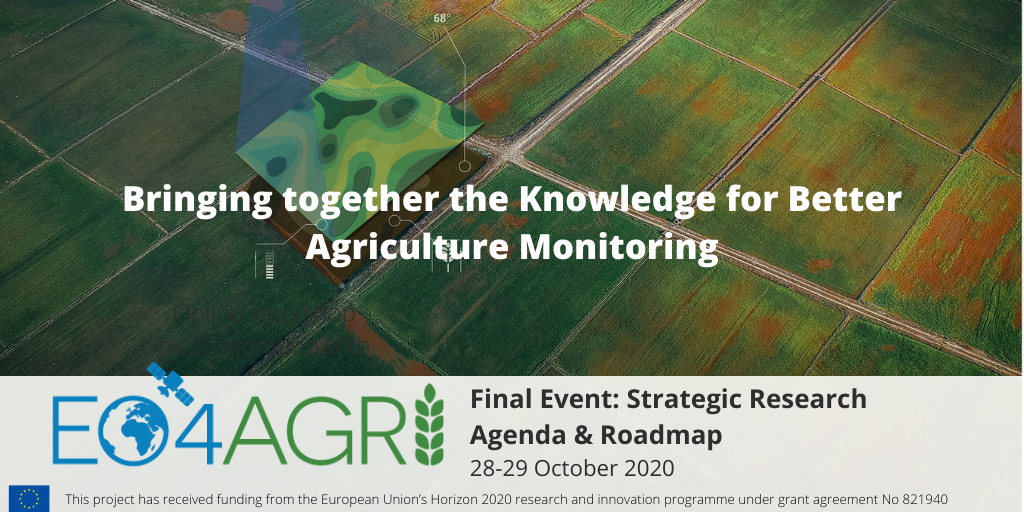
This is the final workshop of the EO4AGRI project, which is planned as an open meeting to present the final EO4AGRI Strategic Research Agenda and recommended Roadmap towards improving the European capacity for operational agriculture monitoring based on information derived from Copernicus satellite observation data and through the exploitation of associated geospatial and socio-economic information services.

The workshop will be split into two sessions of around 1.5 hours each. The first section is oriented to researchers, developers, scientific communities, etc, and will be focused on the methodology, user requirements, and gap analysis processes developed during the project in order to get the results that are gathered in the EO4AGRI Strategic Research Agenda and Roadmap that will be presented during the second session (which is mainly targeted to policymakers, public administrations, etc).

Additionally, each slot will be combined with a Coffee table where participants will be able to interact with the speaker and discuss hot topics of that slot.

AGENDA

28/10/2020 || 14:00 CET : Technical insights on the use of Earth observation for agricultural applications

  1. Overall event concept
  2. EO4Agri – Project overview
  3. User Requirements and Gap Analysis for the use of Earth observation data in agricultures
  4. Technical landscape
  5. Methods for Agriculture Applications
  6. Infrastructure & Software
  7. EO4AGRI catalogue.
  8. Q&A

29/10/2020 || 14:00 CET: EO4AGRI Strategic Research Agenda and Roadmap

  1. Overall event concept.
  2. Project Introduction
  3. Earth Observation for Agriculture Strategy and Implementation of the Green Deal
  4. EO4AGRI Strategic Research Agenda for Earth Observation in Agriculture in  Europe beyond 2020
  5. EO4AGRI Policy Roadmap – concise guidelines for EO in agriculture for CAP post-2020
  6. Q&A

Using the Atlas of Best Practice to Fight COVID-19 in Rural Areas

This webinar scheduled on 20th October at 9 AM CEST will present three challenges that use the Atlas of Best Practice to present solutions to problems that arise in connection with Covid-19 in various areas. These challenges are Atlas of Regional Specialities, Atlas of the Best Practices – Polirural cases and Atlas of Social Enterprises. At the same time, it offers interesting examples of how to eliminate these negative impacts and  cope with the pandemic using innovations and lessons learned from across Europe. 

Register now!

Agenda of the webinar:

  • Welcome from the moderator (Bente)
  • Hackathon introduction and quick overview of 3 challenges: similarities and differences
  • Atlas of the Best Practices (the Enabling project) – common technical platform for presentation of outputs of individual Challenges
  • Ch. 2 presentation (Kristyna, Petr)
    • goals, the Atlas prototype – Regional Specialities, Expected outputs, brainstorming 
  • Ch. 6 presentation (Pavel, Petr)
    • goals, the Atlas prototype – Polirural, Expected outputs, brainstorming
  • Ch. 12 presentation (Radoslav, Petr)
    • goals, the Atlas prototype – Social Enterprises, Expected outputs, brainstorming
  • general Q&A
  • Conclusion

You will hear from 

GEO Week 2020 Virtual Industry Track

Join global participants in technology, Earth observation and space sectors for two days of networking, virtual talks, virtual exhibitions and inspiring ideation sessions at this year’s GEO Week 2020 Virtual Industry Track.

The first-ever fully virtual GEO Week Industry Track will connect you with Industry leaders, SMMEs and Regulators as we all converge to collaborate and solve real-world problems using Earth observation technologies. Build mutually beneficial relationships across the globe; brush up on industry knowledge; engage with industry experts and meet the Space-Tech Innovation Challenge finalists for 2020.

The GEO Week 2020 Virtual Industry Track enabling access to markets, partners, resources and insights.

Joint Conference 2020 is coming soon

The Joint Conference 2020 (24th International Conference on Information Systems for Agriculture and Forestry (ISAF) & 13th Geomatics in Projects & 5th annual conference of Plan4All) is changing the format this year due to the worldwide situation with COVID-19.

We will publish contributions in the section Programme of the web page of the Joint Conference 2020 (https://kgm.zcu.cz/geomatics-in-projects-2020/) during October and November. They will be devided into sections of Agriculture, Traffic, Cultural Heritage and Technologies and particularly available at the Plan4All HUB. After registration at the Plan4All HUB, a participant can comment and discuss below each of the contributions until the day of the Final Event of COVID-19 INSPIRE Hackathon 2020 on the 19th November 2020, which temathically closes our conference. The extent of the discussion about the conference’s contributions will be settled according to the discussions below the contributions.

Further information and contributions will be published on the conference’s web page.

The online conference is co-organized by:

Plan4all 

Geomatics@UWB 

Club of Ossiach

Czech Center for Science and Society

Lesprojekt sluzby

Wirelessinfo

Upcoming webinar on Rural Attractiveness Visualisation

Register now!

Are you still thinking about registration for the challenge #4? Do you need more information about the main goals and general understanding of rural attractiveness? You will learn this and much more from the COVID-19 INSPIRE Hackathon mentors during the webinar dedicated to challenge #4 of COVID 19 INSPIRE Hackathon that is scheduled on 12th October. 

Agenda of the webinar:

  • Introduction to the challenge #4 → Goals, tasks, working groups
  • About Polirural project: Overview over the approach and aims of the project & presentation of the 12 pilot regions
  • Rural Attractiveness: General understanding of rural attractiveness / Principles of searching of homogeneous regions (rural attractiveness index, clustering)
  • The web map application: Features and functionalities / Brief technical details / Input data
  • Ideas for potential improvements of the map application

You will hear from:

Did you miss the webinar? You can watch it below:

W3C session: Map Compositions format and a Map Whiteboard: Collaborative Map-Making

Last week, a two-week long W3C workshop brought together experts in geographic standards and Web map data services, Web mapping client tools and applications, and Web platform standards and browser development, to explore the potential of maps for the Web was concluded.

On Wednesday 30th September there was a session dedicated to Advanced web graphics for mapping that continued with one hour panel session.

Karel Charvat on behalf of Plan4all, Lesprojekt, BOSC and Asplan Viak gave a presentation about the project to create a Google Docs-like map application and map composition format.

Later the team (including Karel, Stein Runar Bergheim and Raitis Bersinz) held a breakout, in which they presented the application and architecture of the system in more detail, leaving us to ponder if the format has a similar objective as maps in HTML might.

Please comment about the Map Composition Format and Map Whiteboard application concepts here, where Karel, Runar and Raitis will be able to respond.


Webinar on Digitization of Indigeous knowledge in African Agriculture postponed to 23rd October

We regret to infrom you that tomorrow webinar on Why is the traditional knowledge of African agriculture disappearing? was canceled due to force majeure. 

This webinar has been re-scheduled on 23rd October and you are cordially invited to hear from our presenters Antoine Kantiza and Didier Muyiramye.

Register now!

During the webinar, you will learn

  • Current state of indigenous knowledge in African agriculture
  • Best practices driven from Indigenous Knowledge in African Agriculture
  • Q&A

The young generation of smallholder farmers aren’t aware of indigenous knowledge.

Indeed, Africa farmers are mostly experiencing modern agriculture using imported inputs letting expect better productivity than in former times led by their old parents. Nevertheless African agriculture is still unproductive and the food deficit is increasing in many areas of Africa.

The indigenous knowledge in agriculture is not learned at modern schools and there is a common agreement asserting that indigenous knowledge in agriculture doesn’t matter.

The traditional languages what are the support of indigenous knowledge are also shrinking as well as indigenous knowledge mostly used in climate change resilience; in choosing right period of seeding by best weather forecasting; in mixing crops for best productivity; in storage crops during a long-run, in preparing seeds and planting required to face a long dry season and so on.

In the same few scarce seeds for feeding the population in periods of hunger as well as serving for medicines for humans and for domestic animals are disappearing due to the lack of know-how in the field, disappointed by modern technologies used in agriculture and livestock in a lot of remote rural areas of Africa.

You will hear from 

Register now!

Open Bioeconomy Week starts on Tuesday 29th September

Open Bioeconomy Week will be arranged on 29th and 30th September, 2020 at Hämeenlinna University Center at the premises of Häme University of Applied Sciences (HAMK) in Hämeenlinna, Finland. The event is supported by the Regional Council of Häme with the regional enterprises and other organizations working within the bioeconomy sector. Together with HAMK the organizing committee of the event consist of the leading national research and innovation organizations such as Aalto University, Natural Resources Institute Finland (Luke), VTT Technical Research Centre of Finland, Finnish Environment Institute (SYKE) and University of Helsinki

Due to the current unpredictable circumstances with Covid-19, the Advisory Board and organizers have made a responsible decision to move Open Bioeconomy Week 2020 online.

Open Bioeconomy Week 2020 Program

Tuesday 29th (Main program & Abstract session: Food Value Chain)

  • Program at this link starts 10:00 am (Helsinki GMT+3) & finishes 16:15 pm

Tuesday 29th (Abstract session: Digitalization and Carbon Sequestration)

  • Program at this link starts 11:00 am (Helsinki GMT+3) & finishes 15:30 pm

Wednesday 30th (Circular Economy & Business Day)

  • Program at this link starts 10:00 am (Helsinki GMT+3) & finishes 12:30 pm

To learn more about the conference agenda, please visit this website.
In case, you are interested in attending this unique event, please find a registration details HERE!