GEO Week 2020 Virtual Industry Track

Join global participants in technology, Earth observation and space sectors for two days of networking, virtual talks, virtual exhibitions and inspiring ideation sessions at this year’s GEO Week 2020 Virtual Industry Track.

The first-ever fully virtual GEO Week Industry Track will connect you with Industry leaders, SMMEs and Regulators as we all converge to collaborate and solve real-world problems using Earth observation technologies. Build mutually beneficial relationships across the globe; brush up on industry knowledge; engage with industry experts and meet the Space-Tech Innovation Challenge finalists for 2020.

The GEO Week 2020 Virtual Industry Track enabling access to markets, partners, resources and insights.

Thursday Webinar on Best Practices Catalogue for EBAG Distance Education

Through this webinar scheduled on 15th October at 10 AM CEST, we would like to invite you directly into the topic of one aspect of remote EBAG (eco-, bio-, agro-, geo-) education: how we can utilize and apply the Responsible Research and Innovation (RRI) approach in the field of distance EBAG education.
Is that really applicable? And how? We need to focus on open access as one of the RRI pillars. The crucial goal of the Challenge 1 is to develop an open digital catalogue of best practices for everyday usage. The catalogue will contain a huge number of educational materials (lessons, methodologies, worksheets, handouts, syllabus, presentations, applications, services, feedback forms etc.).

Register now!

Agenda of the webinar:

  • Challenge 1 Introduction (Kristýna Čerbová, Otakar Čerba)
    • Introduction of mentors
    • Goals of the challenge
    • Results of brainstorming phase of the challenge
  • RRI & EBAG Education (Kristýna Čerbová, Otakar Čerba)
    • Responsible Research and Innovations in educational sector
    • Interreg Central Europe project ROSIE as an example of a theoretical and practical co-creation (with its end-users) of possible solutions in the field of education
    • Examples of catalogues of best practices
    • Concepts of the Challenge 1 Best practices catalogue
  • Future plans & Other business (Kristýna Čerbová, Otakar Čerba)
    • Next steps of the Challenge 1 (database populating…)
    • Discussion on participation of particular team members
    • Discussion on topical COVID-19 pandemic restriction in the field of remote education / online education

You will hear from:

Register now!

Wednesday Webinar on Calculation of Agro-climatic Factors

Do you want to learn more about Calculation of agro-climatic factors and their potential for utilization in the agri-food sector? This is exactly what you can learn during the webinar scheduled on 14th October at 2 PM CEST. On the top of that, methods to calculate selected factors based on different data sets from the global perspective to regional will be presented. Evaluation and assessment of calculated factors based on ground measurements from pilot localities will be shown in the other part of the webinar. Analysis of uncertainty of the climatic data and comparison to measured values will be an important part of the challenge.

This webinar is organized a part of the challenge #13 of the COVID-19 INSPIRE Hackathon.

Register now!

Agenda of the webinar:

  • Agro-climatic factors and utilization in agri-food sector
  • Datasets available for calculation of factors
  • Datasets of ground measurements
  • Calculation methods of selected factors
  • Process of comparison of global datasets and ground measurements

You will hear from 

Register now!

Upcoming webinar on EO for monitoring of regional supplies and deviations

Yet another webinar is scheduled for next week – this time a webinar dedicated to challenge 11 of the COVID-19 INSPIRE Hackathon that is being supported by ESA BIC Prague? Do you need more information about the main goals and current approach to the solution of this challenge? You will learn this and much more from the COVID-19 INSPIRE Hackathon mentors during this webinar that is scheduled on 13th October. 

Register now!

Agenda of the webinar:

  • Introduction to the challenge #11 → Goals & tasks
  • Identification of yield productivity zones for precision farming from Landsat and Sentinel-2 data
  • Available data, maps and tools – Jupyter Cloud and AgriHub
  • Introduction to ESA BIC

You will hear from 

Register now!

Joint Conference 2020 is coming soon

The Joint Conference 2020 (24th International Conference on Information Systems for Agriculture and Forestry (ISAF) & 13th Geomatics in Projects & 5th annual conference of Plan4All) is changing the format this year due to the worldwide situation with COVID-19.

We will publish contributions in the section Programme of the web page of the Joint Conference 2020 (https://kgm.zcu.cz/geomatics-in-projects-2020/) during October and November. They will be devided into sections of Agriculture, Traffic, Cultural Heritage and Technologies and particularly available at the Plan4All HUB. After registration at the Plan4All HUB, a participant can comment and discuss below each of the contributions until the day of the Final Event of COVID-19 INSPIRE Hackathon 2020 on the 19th November 2020, which temathically closes our conference. The extent of the discussion about the conference’s contributions will be settled according to the discussions below the contributions.

Further information and contributions will be published on the conference’s web page.

The online conference is co-organized by:

Plan4all 

Geomatics@UWB 

Club of Ossiach

Czech Center for Science and Society

Lesprojekt sluzby

Wirelessinfo

Upcoming webinar on Rural Attractiveness Visualisation

Register now!

Are you still thinking about registration for the challenge #4? Do you need more information about the main goals and general understanding of rural attractiveness? You will learn this and much more from the COVID-19 INSPIRE Hackathon mentors during the webinar dedicated to challenge #4 of COVID 19 INSPIRE Hackathon that is scheduled on 12th October. 

Agenda of the webinar:

  • Introduction to the challenge #4 → Goals, tasks, working groups
  • About Polirural project: Overview over the approach and aims of the project & presentation of the 12 pilot regions
  • Rural Attractiveness: General understanding of rural attractiveness / Principles of searching of homogeneous regions (rural attractiveness index, clustering)
  • The web map application: Features and functionalities / Brief technical details / Input data
  • Ideas for potential improvements of the map application

You will hear from:

Did you miss the webinar? You can watch it below:

W3C session: Map Compositions format and a Map Whiteboard: Collaborative Map-Making

Last week, a two-week long W3C workshop brought together experts in geographic standards and Web map data services, Web mapping client tools and applications, and Web platform standards and browser development, to explore the potential of maps for the Web was concluded.

On Wednesday 30th September there was a session dedicated to Advanced web graphics for mapping that continued with one hour panel session.

Karel Charvat on behalf of Plan4all, Lesprojekt, BOSC and Asplan Viak gave a presentation about the project to create a Google Docs-like map application and map composition format.

Later the team (including Karel, Stein Runar Bergheim and Raitis Bersinz) held a breakout, in which they presented the application and architecture of the system in more detail, leaving us to ponder if the format has a similar objective as maps in HTML might.

Please comment about the Map Composition Format and Map Whiteboard application concepts here, where Karel, Runar and Raitis will be able to respond.


Webinar on Digitization of Indigeous knowledge in African Agriculture postponed to 23rd October

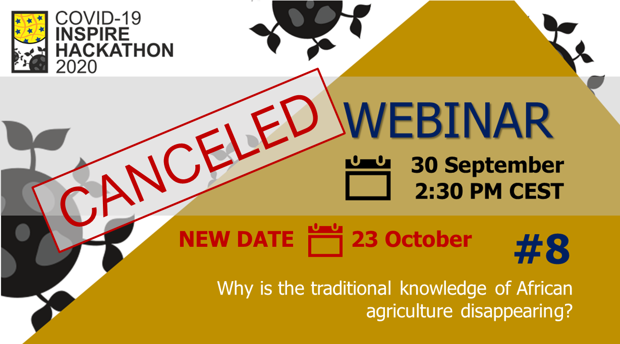
We regret to infrom you that tomorrow webinar on Why is the traditional knowledge of African agriculture disappearing? was canceled due to force majeure. 

This webinar has been re-scheduled on 23rd October and you are cordially invited to hear from our presenters Antoine Kantiza and Didier Muyiramye.

Register now!

During the webinar, you will learn

  • Current state of indigenous knowledge in African agriculture
  • Best practices driven from Indigenous Knowledge in African Agriculture
  • Q&A

The young generation of smallholder farmers aren’t aware of indigenous knowledge.

Indeed, Africa farmers are mostly experiencing modern agriculture using imported inputs letting expect better productivity than in former times led by their old parents. Nevertheless African agriculture is still unproductive and the food deficit is increasing in many areas of Africa.

The indigenous knowledge in agriculture is not learned at modern schools and there is a common agreement asserting that indigenous knowledge in agriculture doesn’t matter.

The traditional languages what are the support of indigenous knowledge are also shrinking as well as indigenous knowledge mostly used in climate change resilience; in choosing right period of seeding by best weather forecasting; in mixing crops for best productivity; in storage crops during a long-run, in preparing seeds and planting required to face a long dry season and so on.

In the same few scarce seeds for feeding the population in periods of hunger as well as serving for medicines for humans and for domestic animals are disappearing due to the lack of know-how in the field, disappointed by modern technologies used in agriculture and livestock in a lot of remote rural areas of Africa.

You will hear from 

Register now!