TEAM 5: Agriculture Innovation Hub for Africa
This is the first progress report of the team no 5 of the Nairobi INSPIRE Hackathon 2019. The team is led by Karel Charvat and Tuula Löytty.
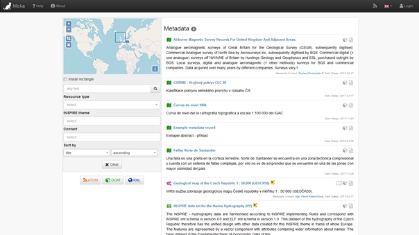
This time, the team is presenting one of the key components of the technical solution which is the open metadata catalogue Micka.
(Open)Micka is a Web application for management and discovery of (geo)spatial (meta)data. From a user perspective, it represents a cataloguing tool for searching and finding relevant resources, such as geospatial and non-geospatial datasets, Web services, sensor measurements, map compositions, (traffic) models, documents, Web pages, reports, legislation or e-shop. The main goal of (Open)Micka is to connect all the relevant kinds of resources and provide answers, for instance, to the following questions:
- show me all data and (map) visualizations that were developed according to such legislation or
- show me what has been done with such sensor measurements (derived datasets, policy, link to e-shop selling the raw sensor measurements,…).
As such, (Open)Micka is intended to be used as a tool for discovery of various kinds of resources. (Open)Micka is a customizable and scalable tool that is going to be modified according to the purposes of each pilot. Anyway, a general use case scenario may be identified as follows:
- A user would like to discover relevant information regarding his/her area of interest, theme and other preferences. A user e.g. searches for all kind of available information related to European Noise Directive in the area on the border of the Czech Republic, Slovakia and Austria.
- On contrary to Web searching engines, the (Open)Micka enables to define advanced (multiple) searching criteria, such as to draw a rectangle in a map to define the area that I am interested in, to define quality of information I am interested in (such as spatial accuracy higher than one meter) or to define the responsible authority. E.g. I would like to obtain only noise measurements from official mapping authorities.
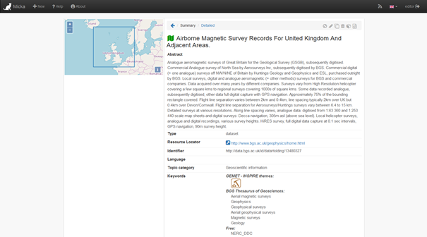
- A user than obtains relevant (meta)information on all the available resources he/she was searching for. He/she may look into details as well as see all the related resources that provides links to other applications. E.g. a user discovers a NoiseDataset that fulfils all his/her criteria and would like to see a preview of such dataset on a map, see the legal act under which the dataset was created, have a link for the sensor measurement that was conducted in order to populate the NoiseDataset or use a link to the e-shop to buy the dataset.
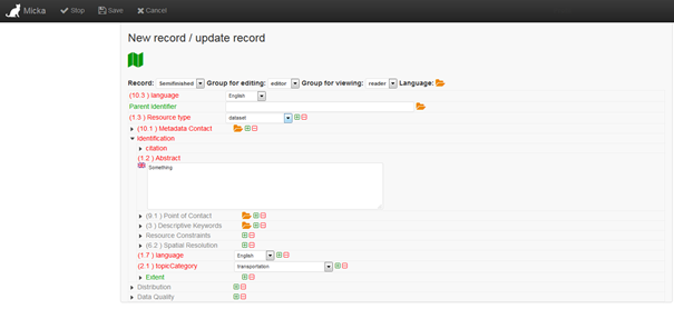
- From a producer’s perspective, a producer may import his/her metadata from another system or create them manually.
- A producer than decides which metadata will be published, i.e. made available over the internet.
More illustratively, an (Open)Micka allows users to:
- Find the relevant information resources
- Between the following information resources: geospatial and non-geospatial datasets, Web services, sensor measurements, map compositions, (traffic) models, documents, Web pages, reports, legislation or e-shop.
- Define criteria from dozens of so-called queryables as specified in the OGC implementation specification Catalogue Service for Web 2.0.2, including the ISO Application Profile 1.0. The typical examples are freetext search, resource type, area of interest, scale extent, responsible authority, time period etc.
- Since (Open)Micka provides services, it may be easily connected and powering a third party application.
- Display the results
- In a human friendly way on a Web page and/or in an application for mobile environments.
- In an XML-based source code.
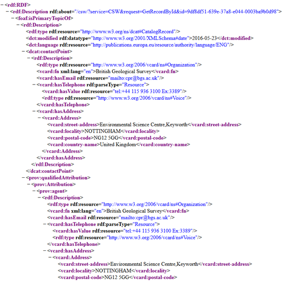
- Through a semantic approach when using the GeoDCAT RDF syntax.
- Import metadata
- From another server having its interface compliant to the OGC implementation specification Catalogue Service for Web 2.0.2.
- From another repository when a connector is developed.
- Create metadata
- According to a currently support metadata profile: ISO 19115, ISO 19119, INSPIRE, Dublin Core, Feature Catalogue.
- According to a user-defined structure.
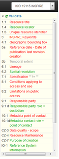
- Validate metadata
- According to the linked XML schemas.
- According to a Schematron pattern.
- According to user-defined rules.
- Publish metadata
- In a user-friendly Web page through XML files.
- As a Web service, with or without semantics.