
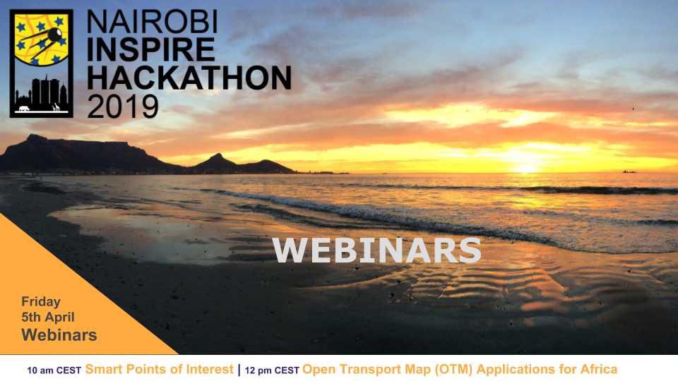
There are 2 webinars dedicated to 2 teams from the Nairobi INSPIRE Hackathon 2019. These webinars are scheduled for Friday 5th April 2019 and below you can find the overview and more details.
| Friday 5 April | 10am | Team 7 | Webinar URL | Ota Cerba |
| Friday 5 April | 12pm | Team 9 | Webinar URL | Dan Beran |
Smart Points of Interest (SPOI)
Friday 5th April, 10:00 CEST
What is it about:
Geo- (or spatial) Linked Open Data and questions related to its development, maintenance, collection, publication and implementation. The webinar is focused on the introduction of the dataset Smart Points of Interest (SPOI). During the webinar the structure of SPOI, data model, existing applications and plans for the hackathon are described.
There is many various heterogeneous data sets collected by different organizations. But these datasets are not shared and combined with other data and therefore their exploitation is very limited. To publish and use LOD enable to unlock the potential of data on the Web.
SPOI is great opportunity to publish and use 5-star Linked Open Data, including all benefits of this approach. To publish selected spatial open data from Kenya and/or other African countries as 5-star Linked Open Data (LOD). Data sets will be transformed and integrated to Smart Points of Interest (SPOI) data model, which represent the universal exchange approach to publish spatial point based data in RDF format according to the LOD principles.
To think about a design of applications and services used SPOI.
Who is it for:
The webinar is designed for individuals and organization which are able to add and update SPOI, for example regional authorities, universities, tourism providers, etc. as well as for those, who want to use SPOI data for their own purposes (applications and services developers).
Open Transport Map (OTM) Applications for Africa
Friday 5th April, 12:00 CEST
What is it about:
Traffic efficiency is the main goal of any larger city that wants to grow in a sustainable way. Traffic modelling is usually a domain of robust desktop application which makes it inaccessible and slow. Traffic is dynamic, public decision making should be too. In this webinar the current status of the Traffic Modeller will be presented together with some ideas on how to develop a web traffic modeling app (based on server implementation of the Traffic Modeller) using open source spatial data.
Who is it for:
People interested in our idea that would like to help us prepare input data. Ideally with background in GIS, IT or traffic modeling. Organizations and people interested in GIS traffic modeling and smart cities.
Those interested in GIS or traffic modelling.