This is a description of Team no 3 of the Nairobi INSPIRE Hackathon 2019 led by Dmitrii Kozuch as a mentor.
Many developing countries face problems related to poor spatial planning practices resulting in uncontrolled deforestation, grazing and urbanization occur. In order to mitigate these processes, it is essential to have in place data-based evidence and legal frameworks.
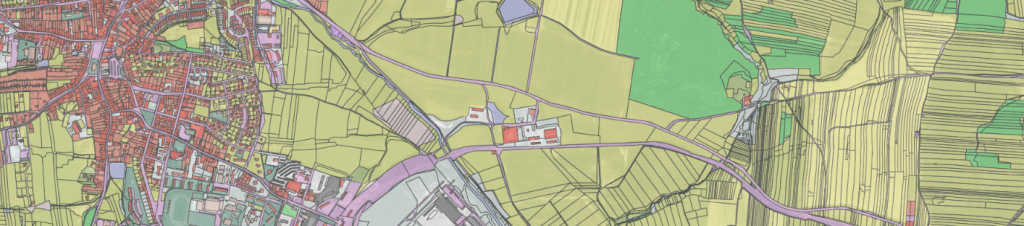
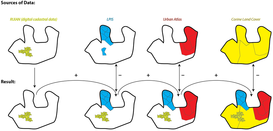
An important part of any planning processes is land use. And this is the key focus of this project to create an open land use database. During the hackathon the team will identify available data sources including Sentinel imagery. Following the methodology for creation of Open Land Use map developed within the SDI4Apps project, the team will extend the coverage of the existing Open Land Use map by several African countries.
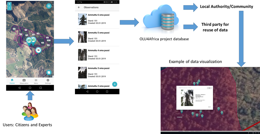
As a result, there will be a prototype of a web application for collaborative creation of spatial plan based on the available data. Citizens will have a chance to update the open land use map and verify the classification of land use calculated from the Sentinel imagery.
Anyone interested in this topic from the African communities and experts focused on land use classification, design, web and app development are welcome to join this team.
Join this team no. 3 by registering at https://goo.gl/VME2ZG