
Project leader: Jan Vrobel vrobel.jan(at)uhul.cz
Project team: Dimitrij Kozuch, Marek Splichal, Runar Bergheim, Raitis Berzins, Irena Koskova, Stepan Kafka, Simon Leitgeb
Today we propose to you the idea that “maps” are interesting not only as visualizations of volunteered geographical information (VGI) data capturing through semi-voluntary projects — but as shareable, fascinating and valuable VGI objects in themselves. So why do we believe that the “map” is an object that people would like to share — and why do we believe that it proves added value to peoples lives?
There currently exists hundreds of services offering spatial information through real-time interactive protocols such as WMS and WFS etc. Soon, if member states and signatories to INSPIRE do as they are legally obliged, this number will be thousands — ten thousands.
The fact that a map is a composite object referring to a lot of live data sources around the net, require the existence of a “Map Composition” standard that describes the elements that constitute a map and how they should be combined to fit together neatly.
An early effort by the OGC was the Web Map Context specification that has not evolved since 2005. This little bit ‘heavyweight’ XML-based standard is limited in scope and has not evolved with the developments in standards and technology in the 11 years that have passed since its creation.
Recently the three European Community funded projects SDI4Apps, Foodie and OTN have started the work of defining a simple, lightweight specification for Map Compositions using HTML5- and bandwidth friendly JavaScript Object Notation (JSON) as a carrier of information.
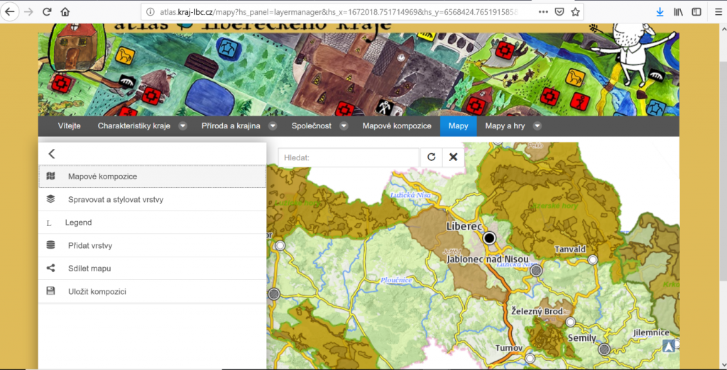
Now best example using this principles is educational Environmental Atlas of of the Liberec Region.
The current specification of the JSON Map Composition is available on the GitHub Wiki of HSLayers NG.
For schools and educational purposes and also for different VGI task will be useful be able to display this Map composition on desktop clients. We decide developed plugin, which will support utilization of Map composition inside of QGIS.