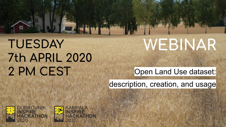
Webinar dedicated to Open Land Use dataset – description, creation and usage is coming soon! The webinar is scheduled for Tuesday 7th April 2020 and below you can find the overview and more details.
DURING THIS FREE WEBINAR YOU WILL LEARN:
- Open Land Use model
- Extensions to Open Land Use – some examples
- Visualization tools for Open Land Use datasets
- Introduction to two challenges related to Open Land Use, for the Dubrovnik INSPIRE hackathon and the Kampala INSPIRE hackathon
What: There will be shown some means of integrating various data into Open Land Use dataset. Users then could propose different data sources that they think is usefull to integrate into the dataset andsome real world application for which it could be useful.This webinar consist of three parts, a theoretical part: what is Open Land Use, what has changed in new version of it, how it is being created, how it is possible to access it, for what practical purposes the dataset can be used. And two pracitcal demos of working with the dataset in HSLayers map tool and in Jupyter Notebooks.
Why: Firstly, because now we have changed the data model of Open Land Use map to be able to easily extend for the new attributes (topics). And now it is good to test and improve this model as well as it is good to think about spatial extendability of the dataset. For the Dubrovnik INSPIRE hackathon it will be about extendability of attributes of the dataset and for the Kampala INSPIRE hackathon it is mostly about spatial extendability of the dataset to cover Africa. Also now, because it could be some new ideas from the participants of the hackathon.
Who (is the webinar for): People interested in monitoring Land Use and Land Cover and in general people interested in playing with data
If you want to learn more, do not hesitate to register for this webinar HERE!

