
We started to analyse, how to query farmers satellite data from farm management information systems. Help us with this tasks and agree on a common interface.
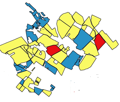
Farm data or field data (it could be a single field)
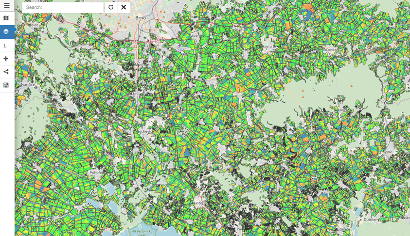
Processed data on the hub (data could be stored as processed or process can be calculated on demand).
What a farmer needs
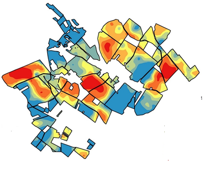
Response could be or raster or vector.
Tasks
- How could be queried server from client side (if we
are using defined processing, probably we can use the same query for both
stored or processed data)
- we need define, how will look API for querying
- we need define data model for transferring data for single fields
- How will be send back result
- in case of vectorized data, probably will be necessary to define only format and model
- in case of raster data?