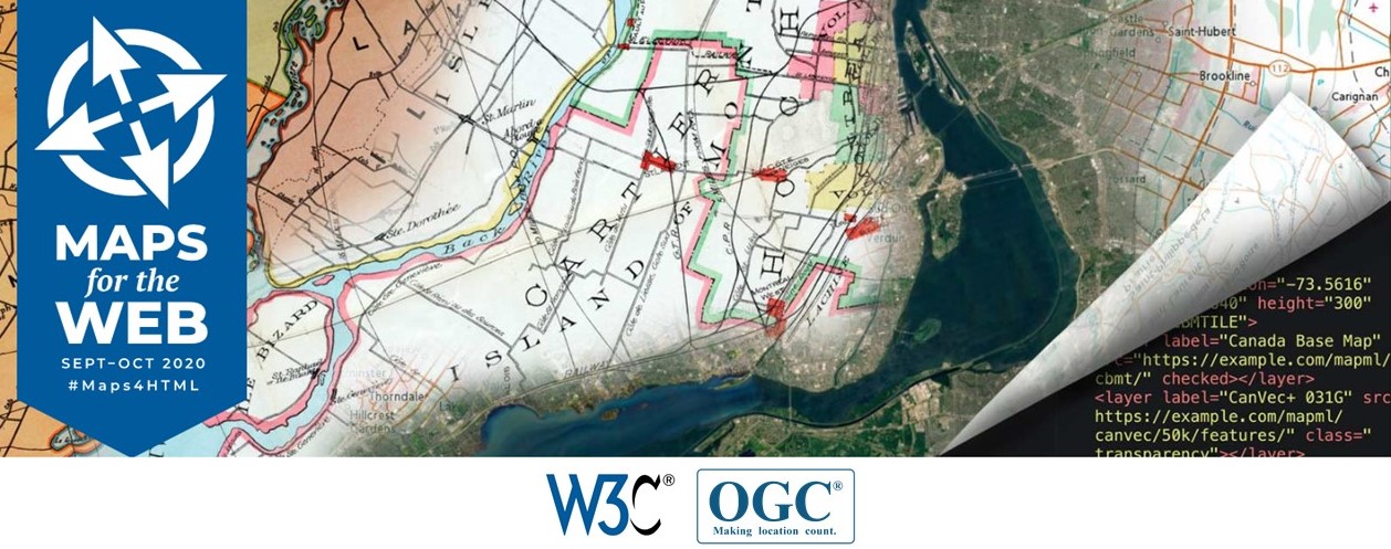
The World Wide Web Consortium (W3C) and Open Geospatial Consortium (OGC), together with host Natural Resources Canada (NRCan), will present an interactive webinar series to make HTML Maps a first class citizen of the Web. The W3C/OGC Joint Workshop Series on Maps for the Web will be a distributed, online meeting of developers, cartographers, policy makers, and other people with an interest in the future of Web standards relating to use of spatial information to display maps on the Web.
Register now to hold your place for the workshop series taking place over ten days, starting 28 September to 9 October 2020. Submit a position paper by 15 July 2020 if you would like to be considered to give a presentation.
More information available at https://www.w3.org/2020/maps/call-for-participation#position-statements

