Mentor: Michal Kepka, Dmitrii Kozhukh
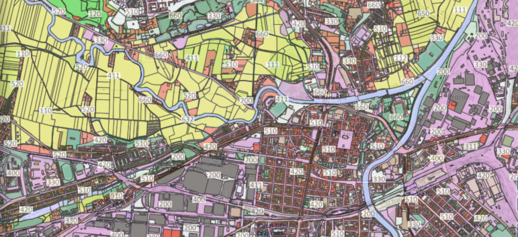
Open Land Use is a pan-European open dataset integrating various regional and local spatial datasets about land cover and land use. More information about the dataset can be found at: https://sdi4apps.eu/open_land_use/
Several H2020 projects brought new requirements and challenges for OLU data set in last months. For example, there are requirements to integrate data about geomorphology, climate, soils etc. into the dataset.
Due to this fact, new data model of OLU, that is easily extendible to new attributes, was designed during last weeks and it is being developed at this moment.
Challenge description: The goal of this challenge is to test new data model to input datasets and to test publication of data as WMS over publication server and as file export.
