The future of rural areas at Země živitelka 2026: From artificial intelligence and data to education and a more resilient landscape
European projects in practice for Czech agriculture and rural areas
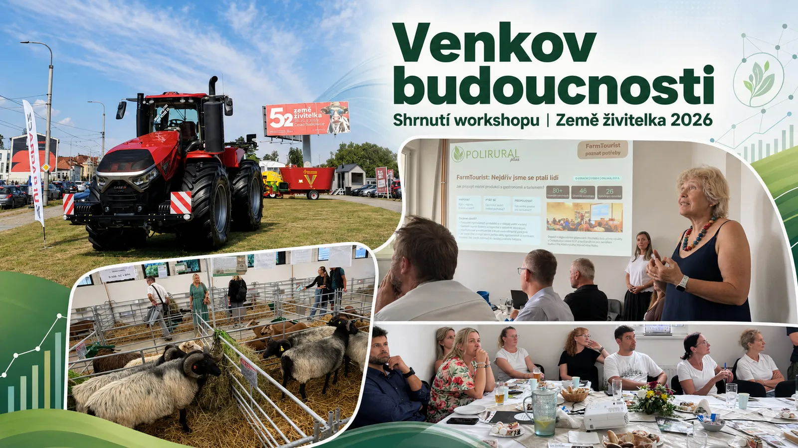
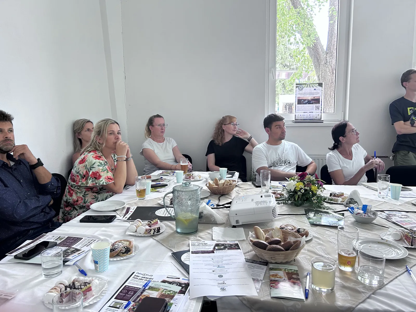
On 20 August 2026, as part of the 52nd edition of the international agricultural fair Země živitelka in České Budějovice, a workshop entitled “The Future of Rural Areas – How European Projects Help Develop Czech Agriculture and Rural Communities” took place.
The two-hour event, held in the meeting room of the Regional Agrarian Chamber in Pavilion R3, presented practical examples of how the results of European research and innovation projects are being applied in real life. Topics ranged from artificial intelligence, data utilization, and support for regional producers to precision agriculture, new educational opportunities, landscape planning, and modern climate and biodiversity monitoring.
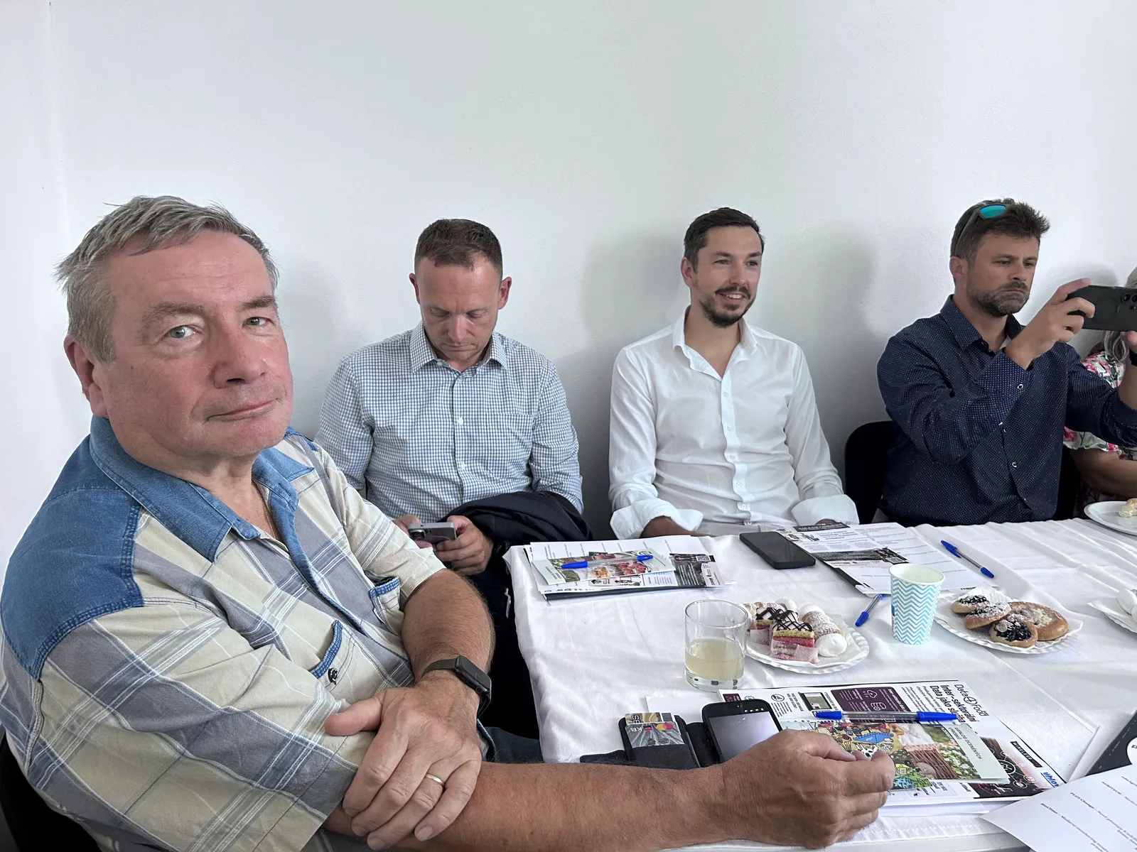
The workshop brought together farmers, agricultural representatives, local action groups, research and educational institutions, regional organizations, technology companies, and partner consortia. This diverse audience created an ideal platform not only to showcase project outcomes, but also to discuss practical implementation and share hands-on experience from Czech regions.
PoliRuralPlus: When European funding reaches the regions
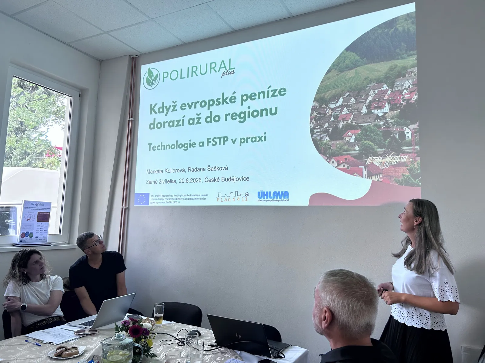
The first presentation focused on the PoliRuralPlus project, showcased at Země Živitelka for the third consecutive year. This time, the team presented concrete results and lessons learned from nearly three years of implementation.
Markéta Kollerová from Plan4all introduced digital tools developed within the project, particularly JackDaw - a GeoAI chatbot combining artificial intelligence with geospatial data, statistics, and open information sources. Users can select a specific geographic area and query data in natural language without requiring GIS expertise.
An essential part of the presentation covered the project's Open Calls, through which PoliRuralPlus engaged new organizations and innovative concepts. A total of €900,000 was allocated across four calls, with Czech organizations securing approximately €115,000 across three rounds.
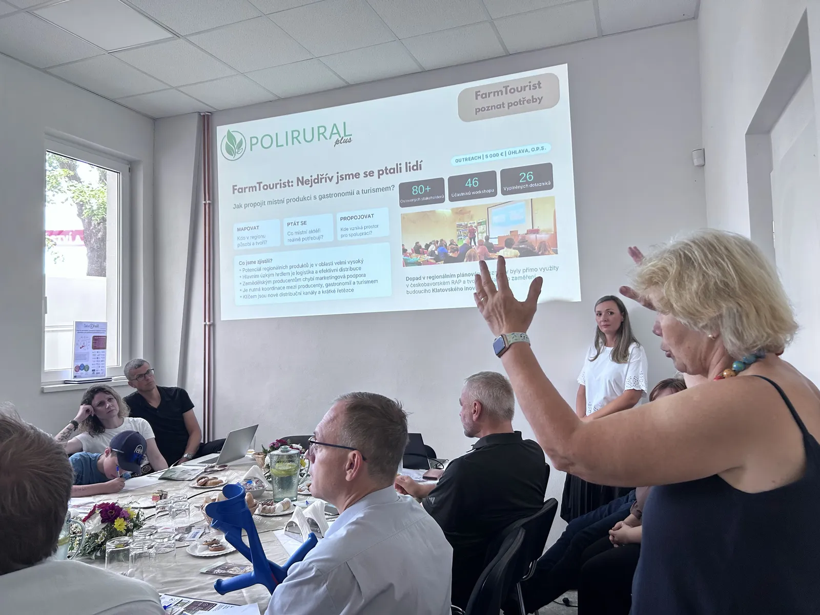
Radana Šašková from Úhlava demonstrated through the FarmTourist, DIPS, and LocalLinks.AI / LocalFarms.AI initiatives how individual projects can build upon one another. The process began with identifying the concrete needs of local producers, continued with youth engagement, and culminated in digital tools supporting local production, logistics, and marketing.
Data4Food2030: Create data once, use it many times
Continuing the theme of regional producers and data management, Petr Horák from WirelessInfo presented the Czech case study from the European project Data4Food2030.
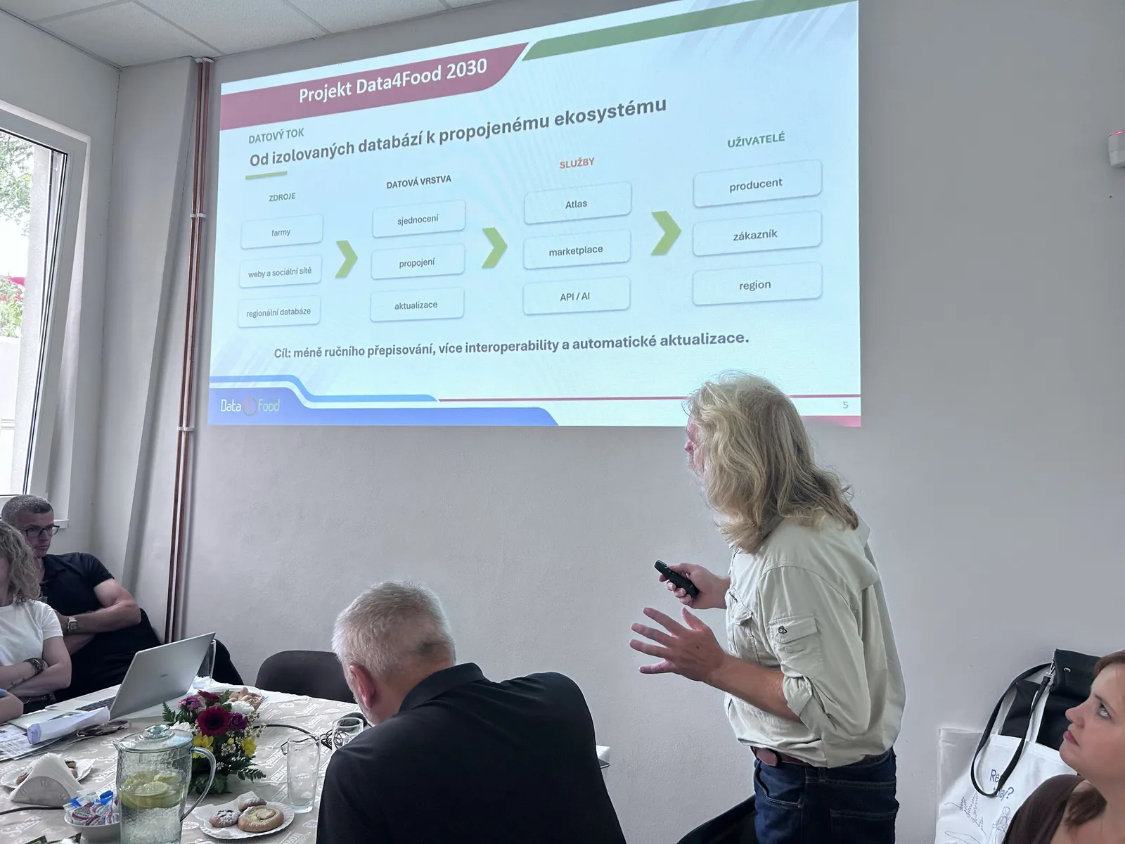
The core premise is straightforward: why should a farmer or local producer repeatedly enter identical information about their farm, products, or services into multiple websites, directories, and applications?
The Czech case study, ISDaaS (developed jointly by WirelessInfo and Úhlava), explores how existing data can be interconnected and repurposed. Information about local producers can benefit agriculture, gastronomy, tourism, and regional development alike.
The case study currently integrates 213 producers, 334 points of sale, and 665 connections across the regional network. Artificial intelligence assists in identifying and updating publicly available data, while final verification remains strictly under human supervision.
AGRI-DIGITAL GROWTH: The technology exists—can we use it?
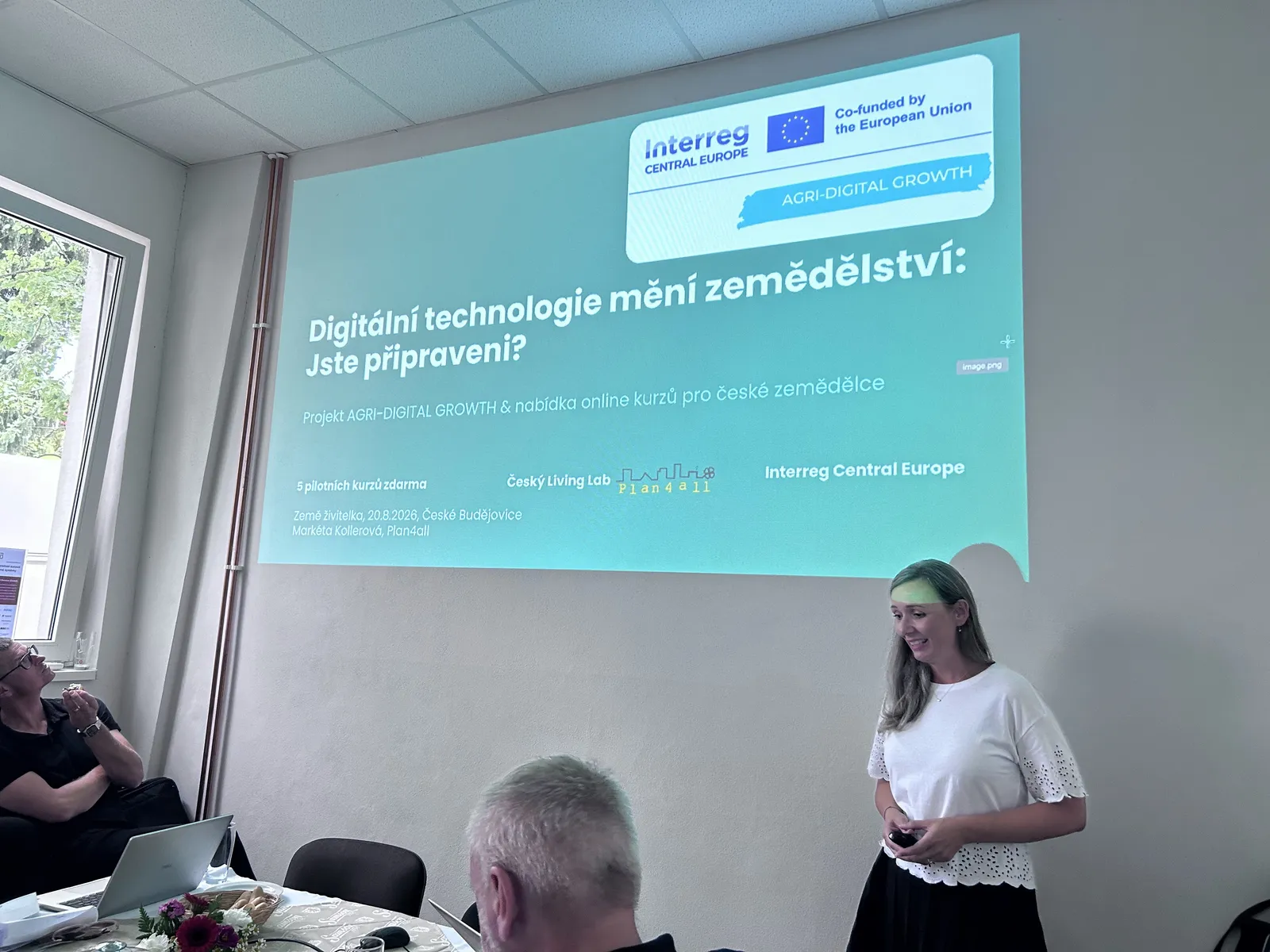
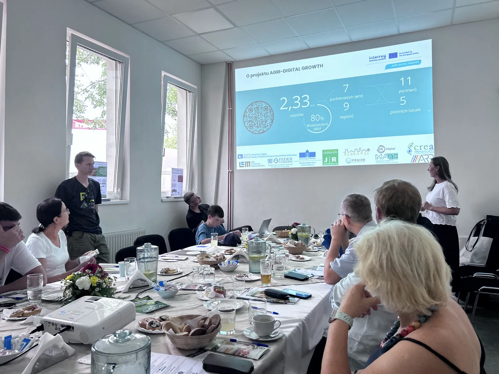
The next segment addressed education. Markéta Kollerová from Plan4all introduced the AGRI-DIGITAL GROWTH project, which addresses both the rapid advance of precision agriculture and the time constraints farmers face when adopting new technologies.
One of the project’s main deliverables is a series of five free online courses covering the fundamentals of precision agriculture, precision field farming, robotics, data processing and AI, and precision viticulture.
The Czech team authored the course “Data Processing and Artificial Intelligence in Agriculture”, introducing participants to Sentinel-2 satellite imagery, the Czech LPIS system, IoT sensors, weather stations, and AI-assisted agronomic decision-making.
The courses are freely accessible, and successful participants can earn the Precision Farming Specialist certificate.
eduAgrihub: Education for the agriculture of the future
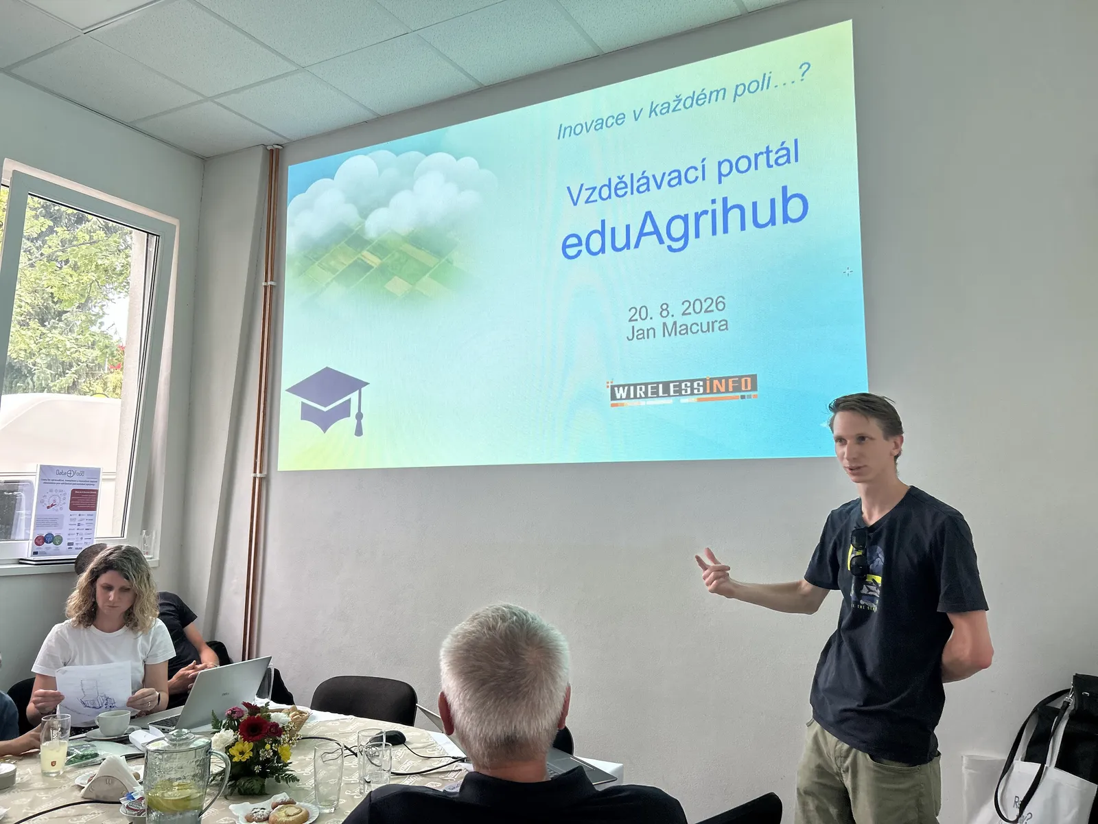
Building on the educational theme, Jan Macura from WirelessInfo presented the eduAgrihub platform.
The initiative stems from a common challenge: European and national projects frequently generate high-quality training materials, courses, and guides that risk becoming obsolete or hard to find once project funding concludes.
eduAgrihub consolidates these resources in a single hub, bridging open educational content with certified vocational training in precision agriculture. Four professional qualifications were introduced:
- Precision Agriculture Mechanization Specialist
- Precision Agriculture Agronomist
- Data Processing Technician
- Precision Agriculture Advisor
The first preparatory course for data processing technicians was launched in spring 2026, with further training modules currently in development.
AGRITECH: Bridging agriculture, technology, and management
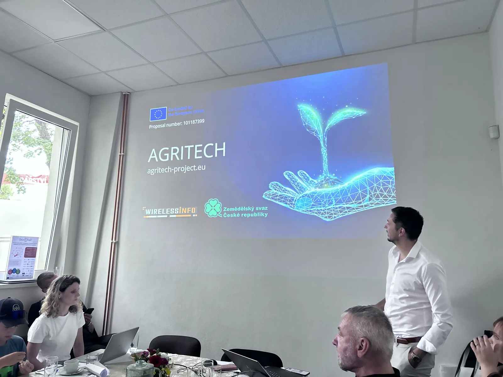
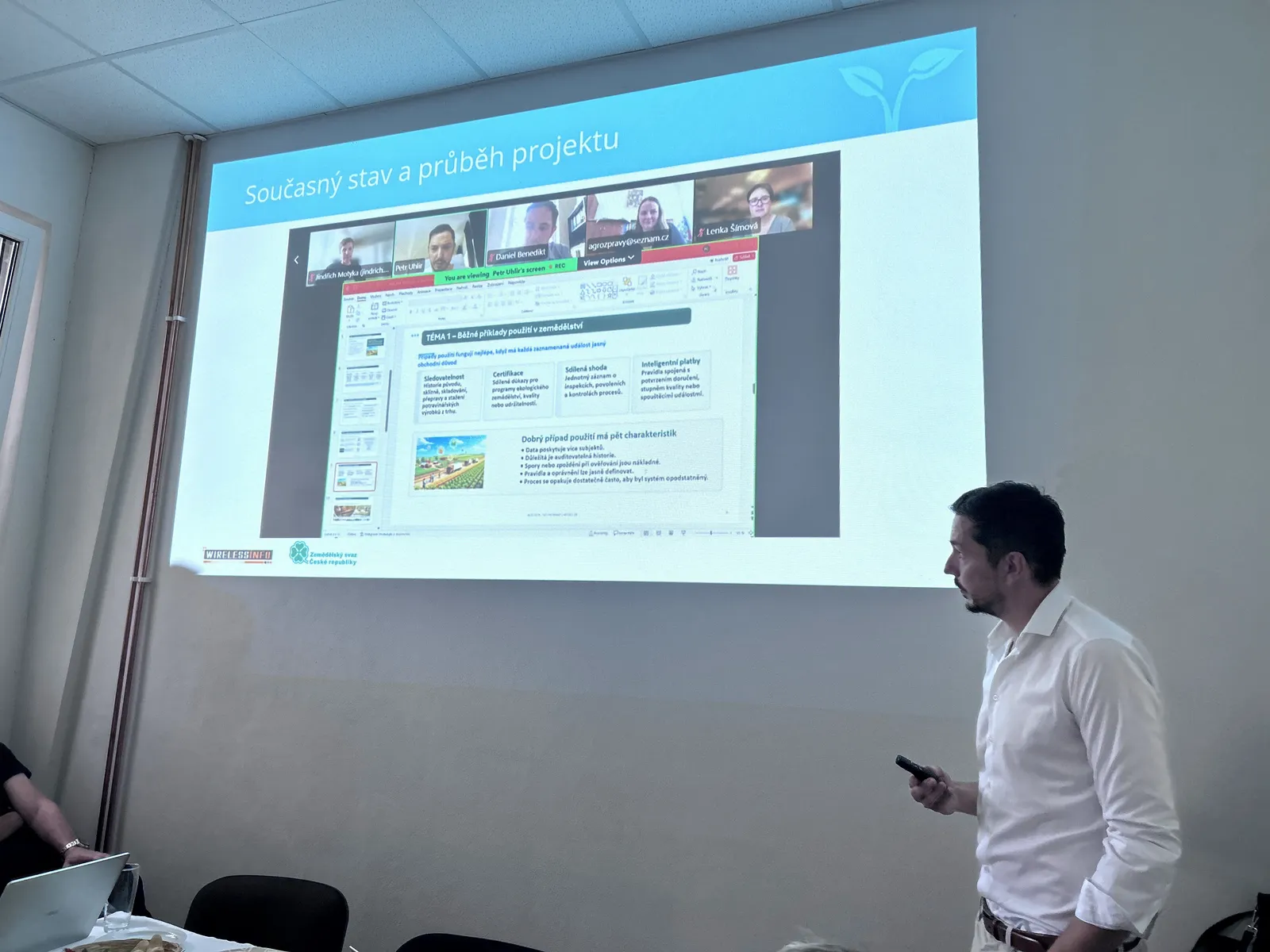
Petr Uhlíř from WirelessInfo followed with the AGRITECH project, which addresses a structural market gap: agricultural businesses have access to an expanding range of digital tools, yet lack professionals equipped to evaluate their ROI and integrate them into everyday operations.
The project's key output is a newly defined occupational profile: the AgriTech Manager. Rather than specializing in a single technology, this profile combines agricultural expertise, technological literacy, and management skills to assess farm needs, select appropriate solutions, and coordinate implementations with vendors.
The curriculum currently in development covers sensors, IoT, drones, AI, and GIS alongside project and financial management, leadership, regulatory compliance, sustainability, and change management—emphasizing real-world case studies throughout.
PLUS Change: Shaping the landscape of the future
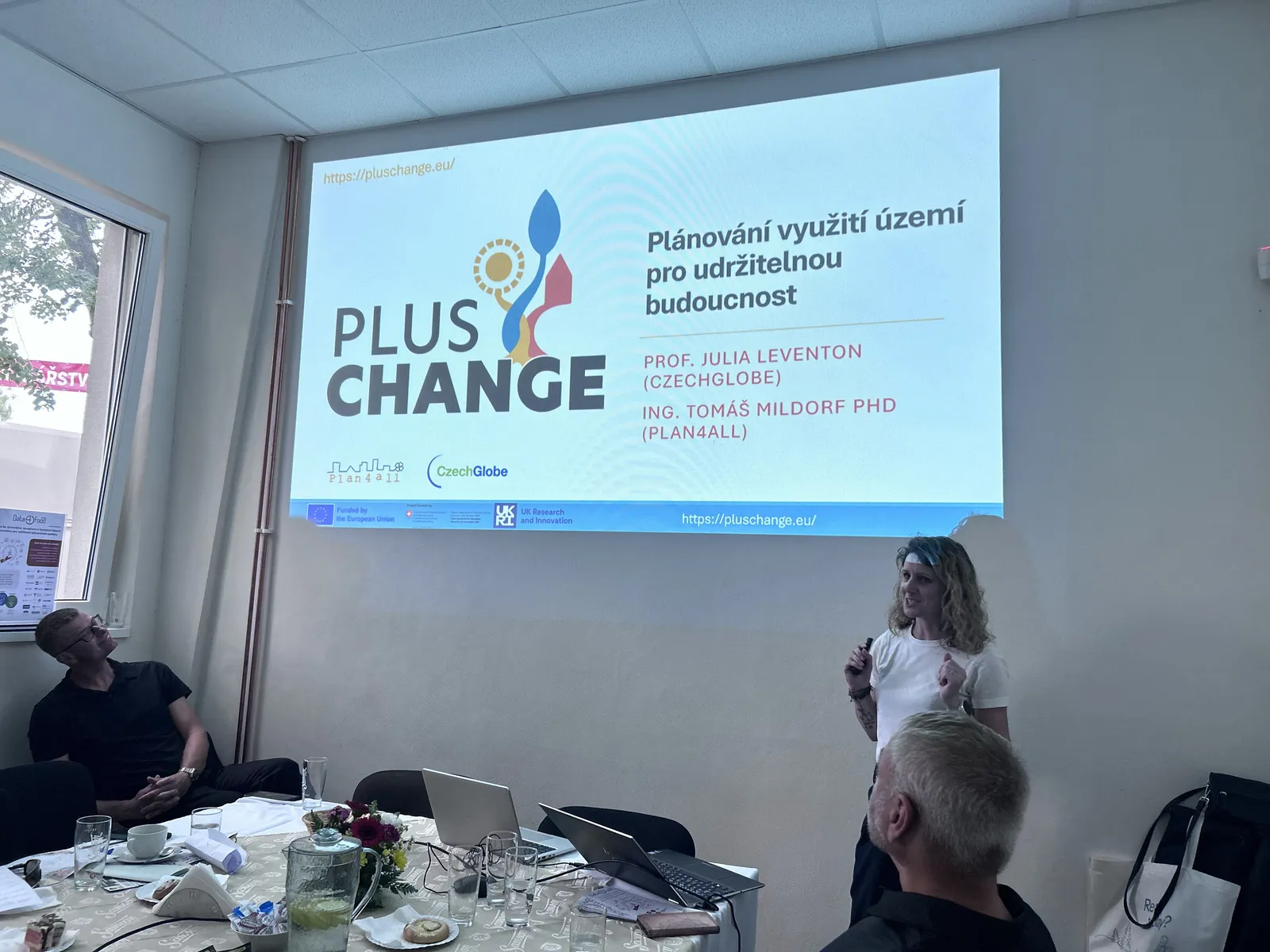
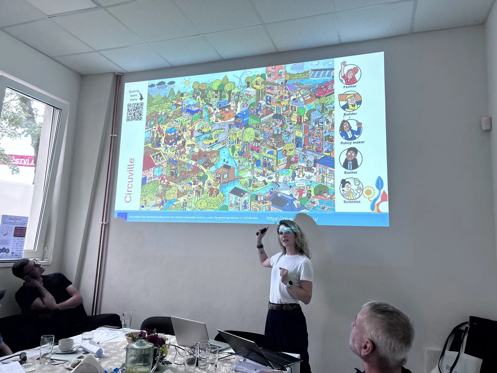
The discussion then moved to land use and landscape management. Prof. Julia Leventon from CzechGlobe presented the PLUS Change project, which balances climate resilience, biodiversity, and socioeconomic needs across 12 European pilot regions.
A notable tool within the project involves large-scale visualizations of future landscape scenarios. These visual models allow residents, farmers, and local authorities to deliberate on what is desirable, realistic, or unfeasible for their area.
Rather than prescribing a single blueprint, the project fosters dialogue to balance agricultural production, conservation, and community interests. The presentation also emphasized that barriers to change extend beyond farm-level willingness—policy frameworks, subsidy rules, and municipal capacity to translate broader goals into local practice play an equally critical role.
BioClima: Joint monitoring for climate and biodiversity
The final thematic block centered on the BioClima project, presented across two sessions.
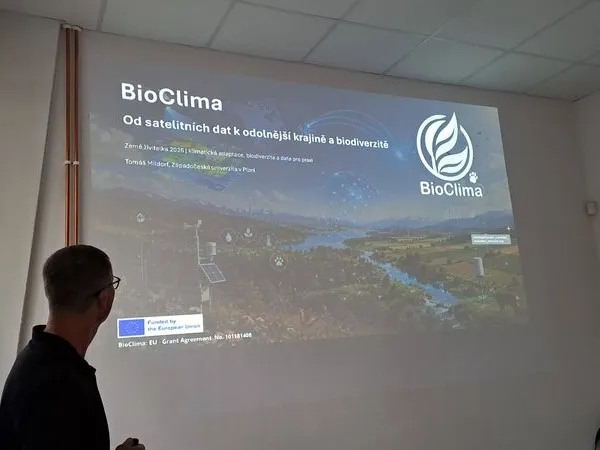
Tomáš Mildorf from the University of West Bohemia in Pilsen outlined the project framework. BioClima operates on the principle that climate change and biodiversity loss must be monitored concurrently. The project is developing harmonized monitoring systems for Europe and China by combining Earth observation data, in-situ field measurements, and AI modeling.
The consortium comprises 37 international partners, with European operations coordinated by the University of West Bohemia. BioClima monitors water availability, drought, flood and erosion hazards, wetland conditions, forest health, vegetation stress, and habitat connectivity.
The Czech BioClima pilot: The landscape as a living lab
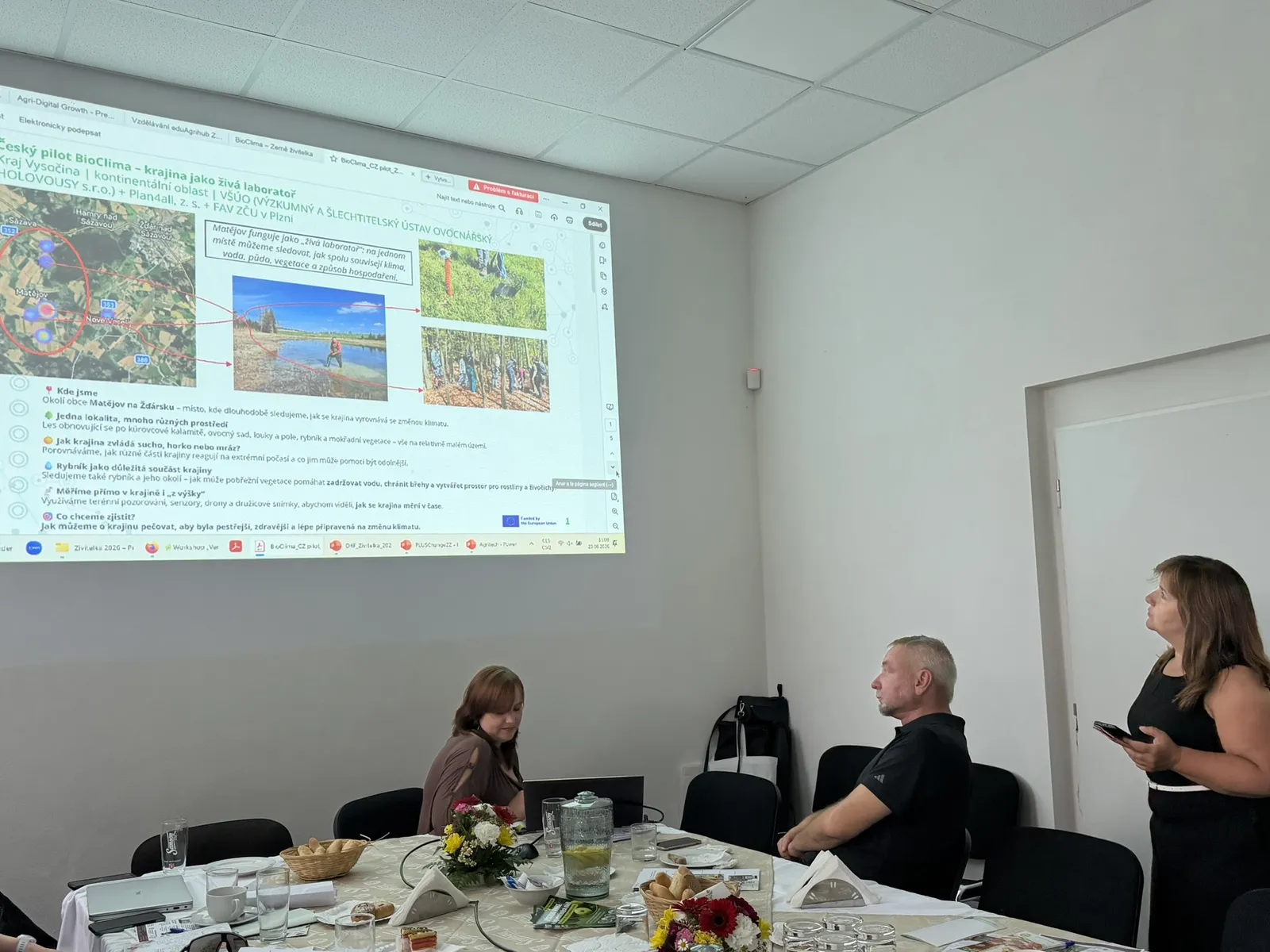
Šárka Horáková from Plan4all presented the Czech pilot site near Matějov in the Vysočina Region.
Across a compact area, the site brings together post-bark-beetle regenerating forest, orchards, meadows, arable land, ponds, and wetlands. This variety allows researchers to observe how different landscape components respond to drought, temperature spikes, frost, and other climate stressors.
Monitoring runs from orbit to subsoil, integrating satellite imagery, drone and aerial surveys, meteorological data, botanical inventories, soil moisture/temperature sensors, and laboratory soil assays.
While initial data are already available, the long-term value lies in continuous time-series measurements, providing the empirical foundation needed for sound landscape governance.
Different projects, one shared goal
Across varied thematic areas, a clear consensus emerged throughout the afternoon: technology alone is insufficient.
Data becomes valuable only when it informs decisions. Artificial intelligence demands reliable inputs and human oversight. Advanced machinery requires skilled operators. And landscape adaptation succeeds only when scientific research aligns with the practical experience of farmers and local communities.
This bridge between research, European funding, education, and the day-to-day realities of Czech agriculture formed the core takeaway of the event.
The programme concluded with an open networking session for questions, knowledge exchange, and future project development. Sincere thanks go to all speakers, attendees, and partners for their participation at Země Živitelka 2026.
Slidedecks to download - in Czech only
- PoliRuralPlus – Digitální venkov a umělá inteligence v praxi
- Data4Food2030 – Data jako základ moderního zemědělství
- AGRI-DIGITAL GROWTH – Digitální technologie mění zemědělství – jste připraveni?
- eduAgrihub – Vzdělávání pro zemědělství budoucnosti
- AGRITECH – Technologie pro efektivnější a udržitelné zemědělství
- PLUS Change – Krajina budoucnosti
- BioClima – Krajina pod dohledem: moderní monitoring pro zemědělství a přírodu
- BioClima – český pilot na Vysočině