Plan4all & CCSS showcase precision farming skills and GeoAI innovation at EIMA International 2026
From 11 to 13 November 2026, Plan4all and its partners joined agricultural machinery manufacturers, researchers, policymakers, and educators at EIMA International 2026 at BolognaFiere in Bologna, Italy. Represented by Dr. Karel Charvát, Plan4all highlighted how geospatial artificial intelligence (GeoAI), interoperable agricultural data, and targeted vocational training are bridging the gap between digital innovation and everyday farm decisions across two major European initiatives: Agri-Digital Growth and INTERESH.
Agri-Digital Growth: 30 Months of Building Precision Farming Skills and Solutions
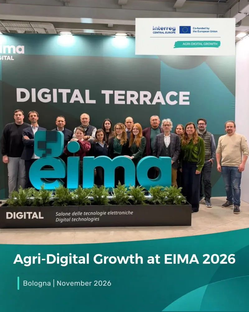
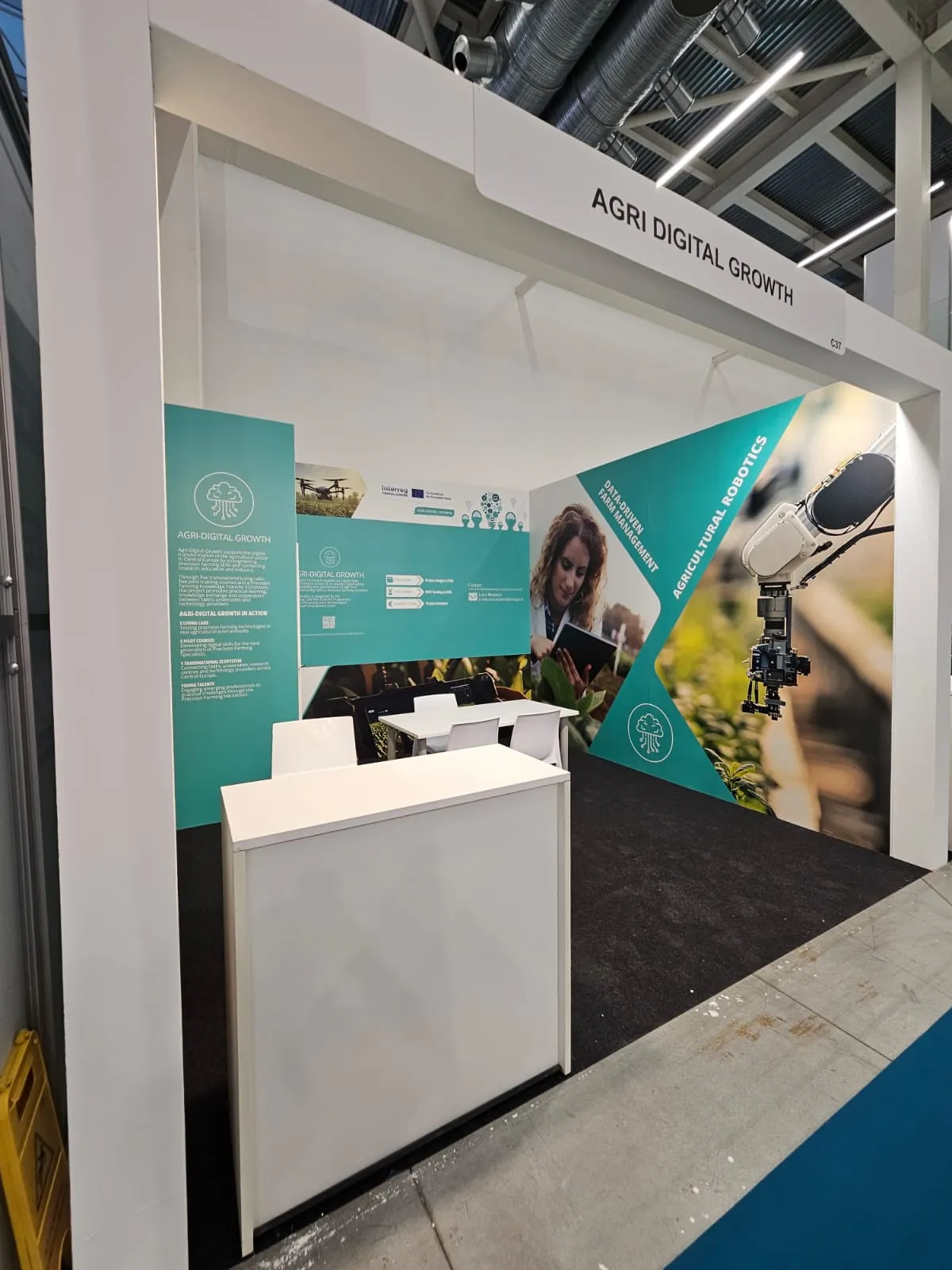
Approaching the conclusion of its 30-month cooperation across Central Europe, the Interreg Central Europe project Agri-Digital Growth (coordinated by CREA) gathered its consortium at EIMA 2026 to share project results and explore future collaboration. Across its implementation, the project engaged more than 180 companies and over 100 young professionals, combining technological experimentation with workforce development.
The Czech Living Lab in Action
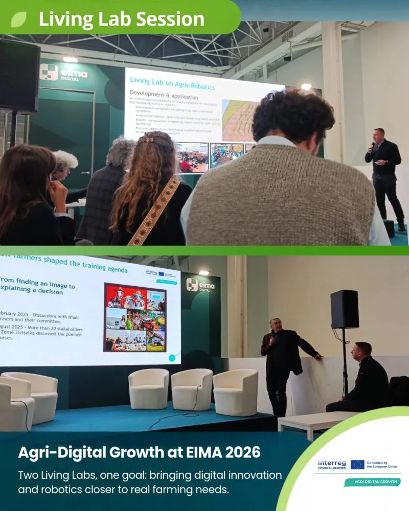
During the EIMA Digital Terrace Living Lab sessions (11–12 November) and the Final Conference "Harvesting Regional Growth" (12 November), Dr. Karel Charvát presented the achievements of the Czech Living Lab, convened by Plan4all alongside Czech and European partners including WirelessInfo, the Czech Centre for Science and Society (CCSS), Lesprojekt–služby, Úhlava, Mendel University in Brno, and the Agricultural Union of the Czech Republic.
Key highlights from Plan4all’s work in the Czech Living Lab include:
- Defining New Agricultural Professions: Working with farmers, SMEs, and European partners (Fondazione Fenice and Josephinum Research), Plan4all helped define four core precision farming occupational profiles: Mechanisation Specialist, Agronomist, Data Technician, and Agricultural Adviser.
- Practical Training & National Uptake: Plan4all developed Pilot Course 4 (Data Processing and AI), a 10-hour module within the project’s five-course European training programme covering GIS, Earth observation, data collection, and AI interpretation. Nationally, the first Czech course for the Data Technician for Precision Farming profile was launched via AgriHub.cz.
- Nurturing Emerging Talent: Following the February 2025 Precision Farming Hackathon supported by EIT Digital, challenge winner Dante Cometti continued developing crop-monitoring and forecasting workflows with Plan4all through a paid internship.
- Co-Creating with Farmers on the Ground: From stakeholder consultations at the Země živitelka exhibition in August 2025 to knowledge exchanges in South Moravia (November 2025) and the March 2026 workshop at Úhlava in Klatovy, practitioners directly shaped the training agenda and tested field sensors, Info4Agro, and GeoAI tools in real-world scenarios.
- Connecting Data from Field to Market: Plan4all demonstrated how authoritative datasets—such as Czech LPIS (Land Parcel Identification System) reports in the JackDaw Playground and the Data4Food2030 Regional Atlas (mapping 213 regional producers, 334 points of sale, and 665 producer–outlet links)—serve as practical teaching and decision-support tools.
INTERESH: From Geodata to Dialogue for Healthier Soils
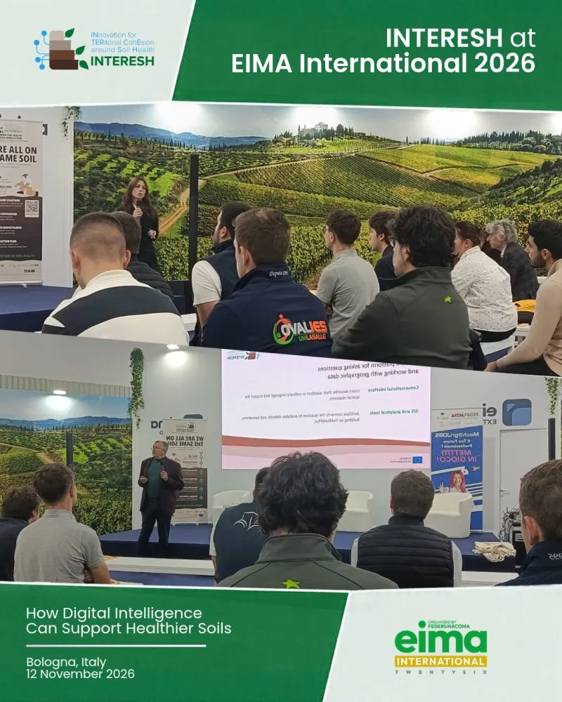
Alongside Agri-Digital Growth, Plan4all and the Czech Centre for Science and Society (CCSS) contributed to the INTERESH (INnovation for TERritorial CoHesion around Soil Health) session on 12 November: "How digital intelligence can support healthier soils".
In his presentation, "From geodata to dialogue: A data foundation for the INTERESH Regional Action Plan," Dr. Karel Charvát demonstrated how conversational GeoAI can support evidence-based territorial planning and soil health management:
- Turning Spatial Data into Accessible Dialogue: Using JackDaw—a modular GeoAI and GeoLLM orchestration platform building on PoliRuralPlus—users can ask complex spatial questions in ordinary language and receive traceable, provenance-grounded maps and summaries.
- Demonstrating Apulian Land Use & Erosion Analysis: Live demonstrations showcased Apulian land-use exploration in Hub4Everybody alongside spatial queries in JackDaw, such as identifying non-irrigated agricultural areas of at least 100 hectares in Apulia where soil erosion poses a risk.
- Building a Transferable Regional Action Plan: Under INTERESH (Tasks T2.5, T3.4, and T5.2), CCSS is integrating regional GIS layers, satellite/IoT observations, regulatory evidence, and Large Language Models to co-create an Apulian Regional Action Plan and a transferable framework for Policy Lab validation.
Looking Ahead
Plan4all’s participation at EIMA International 2026 underscored a shared principle across both projects: technology only delivers value when backed by reliable regional data and skilled people who know how to interpret it. Whether helping a farmer prioritize field inspections, verifying local food supply chains, or equipping regional authorities to protect soil health, Plan4all continues to advance open, interoperable, and human-centered digital agriculture across Europe.
From Geodata to Dialogue - Interesh