Discover rural innovation in practice: new PoliRuralPlus videos
How can a local challenge become a digital application? How can a question in everyday language open the door to advanced geospatial analysis? And how can communities turn a shared vision for their region into a concrete action plan?
Three newly released PoliRuralPlus videos explore these questions through real-world examples from the project's Open Calls, the development of the JackDaw AI agent, and the collaborative work of nine pilot regions. Together, they demonstrate how stakeholder participation, digital innovation, and geographic information can support smarter, more informed rural-urban development across Europe.
Plan4all (P4A) is proud to be one of the driving forces behind these initiatives, acting both as the leader of the Open Calls workpackage and as one of the partners responsible for the Czech/Bavarian Pilot. Here is a closer look at what the new videos cover and how our team is making an impact.
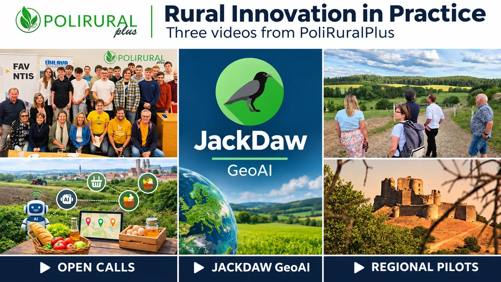
Open Calls: Connecting local needs with digital innovation
Rural innovation starts with understanding what people and places truly need. The Open Call video follows the PoliRuralPlus pathway through four distinct stages: Outreach, Mobilise, Develop, and Enhance.
As the leader of the Open Calls workpackage, Plan4all plays a central role in guiding this process across Europe. We help identify local priorities, bring stakeholders together, and support the development of prototypes that connect regional challenges with technical expertise. The video highlights three examples of applications emerging from this collaborative process:
- LocalLinks.AI (Czech/Bavarian Pilot): Plan4all is proud to be one of the partners responsible for the Czech/Bavarian Pilot. In this border region, an AI-assisted mapping framework is being developed alongside farmers and local action groups to make connections between producers and sales outlets more visible. It explores how geographic data can optimize local food networks and foster cross-border cooperation.
- Avoin-Map (Finland): In Mallusjoki, geospatial services support building energy assessment and land-use carbon analysis, providing shared evidence to transform a village hall into a Green Culture Centre.
- SYLVAN-AI: This application connects JackDaw with cadastral information to support forestry-related spatial checks, illustrating how automated data retrieval assists professional environmental review.
JackDaw: Exploring geographic information through conversation
Imagine selecting an area on a map, asking a question, and getting an answer supported by retrieved data and geographic visualization. The second video introduces JackDaw, a conversational geospatial AI agent developed within the PoliRuralPlus ecosystem.
JackDaw uses natural language as an entry point for established analytical workflows, connecting maps, external datasets, and documents with geospatial tools. Users can locate places, change map views, add layers, and ask questions about environmental conditions, route coverage, and accessibility. The video emphasizes reliability, reminding users that while AI offers powerful exploration tools, human expertise remains central to decisions about our communities.
Nine pilot regions: Turning shared visions into action
How can participation continue beyond initial consultations to shape actual outcomes? The third video explores how nine European regions connect local needs with Regional Action Plans, practical implementation, and monitoring.
Authorities, businesses, researchers, and citizens contribute to identifying priorities. Regional Action Plans then connect those priorities with practical actions, funding, digital tools, and indicators. Alongside Plan4all's work in the Czech/Bavarian region, the video highlights:
- County Monaghan (Ireland): Stakeholder cooperation centers on a proposed Regional Circular Economy Hub to support green entrepreneurship.
- Slovakia: Sustained dialogue between public institutions, researchers, and communities builds on the national Vision for More Attractive Rural Areas 2040.
- Sierra y Mancha Conquense (Spain): A Regional Action Plan connects energy, heritage, and entrepreneurship initiatives across 56 municipalities to foster regional resilience.
Practical knowledge to share and adapt
These three videos bring together complementary perspectives on rural innovation, offering practical knowledge for local authorities, businesses, researchers, and developers. They serve as excellent resources for workshops, training, and inter-regional exchanges.
We invite the Plan4all community to watch the videos and consider how these approaches could be adapted to your own work. Adapting an idea to another territory starts with understanding its local context, available data, and organizational capacity, and P4A is here to help lead that charge.