INSPIRE Hackathon 2016

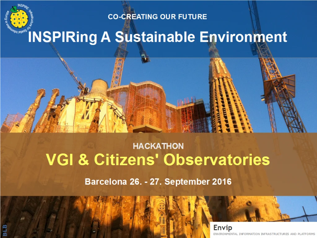
The INSPIRE Hackathon 2016, officially titled the VGI & Citizens' Observatories INSPIRE Hackathon, was held on September 26–27, 2016, in Barcelona, Spain, as part of the INSPIRE Conference 2016. This inaugural event brought together experts, developers, and researchers to explore the integration of Volunteered Geographic Information (VGI) and Citizens' Observatories into environmental management and public participation frameworks.
🎯 Objectives
The hackathon aimed to:
- Leverage Existing Resources: Re-use outcomes from previous research projects and available datasets to benefit new Citizens' Observatories.
- Enhance Tools and Applications: Develop additions to existing Citizens' Observatories tools and applications.
- Prototype Data Models: Create a prototype data model applicable across current and future Citizens' Observatories and other citizen science initiatives.
The event sought to bridge data from Citizens' Observatories with projects focused on Open Geographic Information (GI) Data, such as FOODIE, SDI4Apps, and Open Transport Net, facilitating the transfer of results to new observatories like GROW, SCENT, Ground Truth 2.0, and LandSense.
🧩 Challenges
Participants were divided into three groups, each addressing a specific challenge:
- Enhancing Environmental Management: Exploring how future environmental management and public participation can be improved by reusing existing data and tools, and learning from past project experiences.
- Tool Reusability and Customisation: Determining how new Citizens' Observatories and future observatories can re-use and tailor tools developed in earlier projects like CITI-SENSE, WeSenseIt, CobWeb, SDI4Apps, FOODIE, and Open Transport Net.
- Data Integration and Interoperability: Investigating how data from various sources can be made interoperable and integrated to address concrete environmental issues, based on use cases from new Citizens' Observatories.
Approximately 50 participants, both on-site and remote, collaborated on these challenges, contributing to the development of innovative solutions and frameworks.
🏆 Results
The INSPIRE Hackathon 2016 set the stage for subsequent hackathons by establishing a collaborative framework and demonstrating the potential of open geospatial data. While specific outcomes and winning projects from the 2016 event are not detailed in the available sources, the success of this inaugural hackathon led to the continuation of the series in subsequent years, expanding its reach and impact across Europe and beyond.